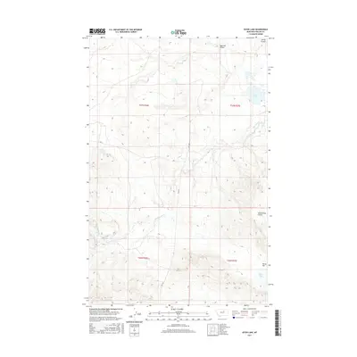
2017 Map of Ester Lake
USGS Topo · Published 2017About this map
The Lodge Pole District's high plains are defined by dramatic drainages and intermittent water bodies, as shown in this 2017 Montana survey. Big Warm Cr meanders across the central landscape, cutting through the terrain alongside topographical landmarks like Schoolhouse Coulee. In the north, Ester Lake provides a focal point near Sage Hen Coulee and Spring Coulee, while the southern reaches of the quadrangle feature Parrot Lake situated on the broad Parrot Flat. This area remains largely undeveloped, with the primary transportation corridors limited to Hwy 204 and Rte 11, reflecting a remote ranching or conservation landscape. The detailed contour intervals illustrate the complex breaks and coulees that characterize this part of Phillips County, documenting the natural drainage patterns that have shaped land use in the region for generations.
Find a feature on this map
13 named features on this map. Tap any name to fly to it.
Don’t see what you’re looking for? This feature index may not catch every label — zoom into the map to look around manually.
Map Details
Editions of this 2017 Ester Lake Map
This is the sole edition of this map. No revisions or reprints were ever made.
Other maps of this area

1953 · Havre
USGS Topo · 1:250,000

1954 · Lewistown
USGS Topo · 1:250,000

1957 · Havre
USGS Topo · 1:250,000

1958 · Havre
USGS Topo · 1:250,000

1959 · Lewistown
USGS Topo · 1:250,000

1965 · Veseth Reservoir
USGS Topo · 1:24,000

1965 · Phillips
USGS Topo · 1:24,000

1965 · Wild Horse Reservoir
USGS Topo · 1:24,000

1971 · Big Flat East
USGS Topo · 1:24,000

1971 · Bear Mountain
USGS Topo · 1:24,000