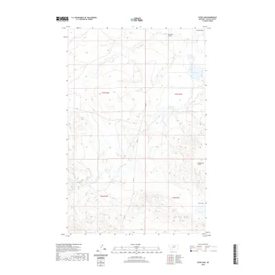
2020 Map of Ester Lake
USGS Topo · Published 2020About this map
Ester Lake and the drainage of Big Warm Cr define this landscape within the Lodge Pole District of Phillips County. This modern 2020 survey illustrates the remote character of north-central Montana, where the terrain is marked by distinctive geological features such as Sage Hen Coulée and Schoolhouse Coulee. The map provides clear detail of the regional transit network, specifically the intersection of Hwy 204 and Rte 11, which serve as primary connectors through this vast ranching and grazing country. To the south, Parrot Flat and Parrot Lake offer a clear look at the local topography and water distribution in an area where seasonal coulees like Spring Coulee indicate the natural drainage patterns that have shaped land use and boundary lines since the early township surveys.
Find a feature on this map
13 named features on this map. Tap any name to fly to it.
Don’t see what you’re looking for? This feature index may not catch every label — zoom into the map to look around manually.
Map Details
Editions of this 2020 Ester Lake Map
This is the sole edition of this map. No revisions or reprints were ever made.
Other maps of this area

1953 · Havre
USGS Topo · 1:250,000

1954 · Lewistown
USGS Topo · 1:250,000

1957 · Havre
USGS Topo · 1:250,000

1958 · Havre
USGS Topo · 1:250,000

1959 · Lewistown
USGS Topo · 1:250,000

1965 · Veseth Reservoir
USGS Topo · 1:24,000

1965 · Phillips
USGS Topo · 1:24,000

1965 · Wild Horse Reservoir
USGS Topo · 1:24,000

1971 · Big Flat East
USGS Topo · 1:24,000

1971 · Bear Mountain
USGS Topo · 1:24,000