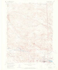
1961 Map of Estes Park
USGS Topo · Published 1965About this map
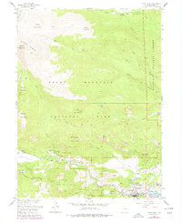
The town of Estes Park sits at the gateway to high-elevation peaks and recreational waters in the early 1960s. The landscape is defined by the sharp transition from the valley floor, where the Big Thompson River flows into Lake Estes, to the massive summits of the Mummy Range. Established infrastructure for early tourism and resource management is evident at the Fall River Entrance and the State Fish Hatchery, while the McGraw Ranch marks the northern extent of developed land near Cow Creek.
Find a feature on this map
57 named features on this map. Tap any name to fly to it.
Don’t see what you’re looking for? This feature index may not catch every label — zoom into the map to look around manually.
Map Details
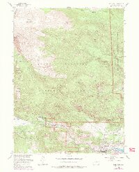
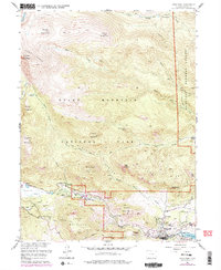
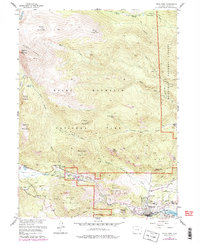
Editions of this 1961 Estes Park Map
8 editions found
Other maps of this area

1905 · Mount Olympus
USGS Topo · 1:62,500

1907 · Mount Olympus
USGS Topo · 1:62,500

1907 · Livermore
USGS Topo · 1:125,000

1909 · Livermore
USGS Topo · 1:125,000

1915 · Longs Peak
USGS Topo · 1:125,000

1916 · Home
USGS Topo · 1:125,000

1919 · Rocky Mountain National Park
USGS Topo · 1:125,000

1920 · Home
USGS Topo · 1:125,000

1954 · Greeley
USGS Topo · 1:250,000

1957 · Greeley
USGS Topo · 1:250,000
Featured Places
- Estes Park, CO
- Fall River Estates Subdivision, CO
- Stanley Heights Subdivision, Estes Park
- Larimer County, CO
- United States