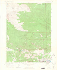
1961 Map of Estes Park
USGS Topo · Published 1965About this map
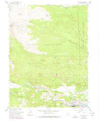
Estes Park and its surrounding mountain peaks are documented here in the early 1960s, a period when the area's infrastructure for tourism and conservation was well-established. The settlement sits at the confluence of the Big Thompson River and Fall River, with the recently developed Lake Estes serving as a significant water feature. This survey highlights the intersection of public lands, including Rocky Mountain National Park and the Roosevelt National Forest, showing the placement of key administrative sites like the Fall River Entrance and the Bighorn Ranger Sta.
Find a feature on this map
59 named features on this map. Tap any name to fly to it.
Don’t see what you’re looking for? This feature index may not catch every label — zoom into the map to look around manually.
Map Details
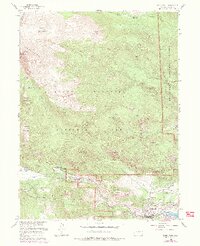
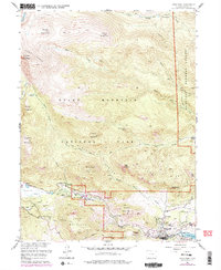
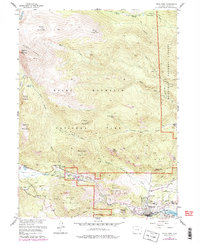
Editions of this 1961 Estes Park Map
8 editions found
Other maps of this area

1905 · Mount Olympus
USGS Topo · 1:62,500

1907 · Mount Olympus
USGS Topo · 1:62,500

1907 · Livermore
USGS Topo · 1:125,000

1909 · Livermore
USGS Topo · 1:125,000

1915 · Longs Peak
USGS Topo · 1:125,000

1916 · Home
USGS Topo · 1:125,000

1919 · Rocky Mountain National Park
USGS Topo · 1:125,000

1920 · Home
USGS Topo · 1:125,000

1954 · Greeley
USGS Topo · 1:250,000

1957 · Greeley
USGS Topo · 1:250,000
Featured Places
- Estes Park, CO
- Fall River Estates Subdivision, CO
- Stanley Heights Subdivision, Estes Park
- Larimer County, CO
- United States