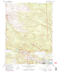
1961 Map of Estes Park
USGS Topo · Published 1988About this map
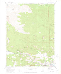
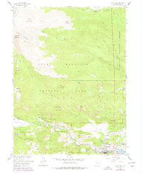
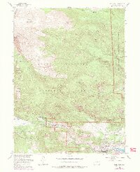
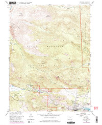
Estes Park and the rugged eastern interface of Rocky Mountain National Park are documented here during a period of mid-century infrastructure growth and recreational development. The map details the complex terrain of the Mummy Range and Lumpy Ridge, where the high peaks of Mummy Mountain and Mount Dunraven tower over the valleys. Significant local landmarks include the State Fish Hatchery and the St Bartholomew Ch, alongside essential service structures like the Power Plant and Sewage Disposal. A network of early access routes is established through Fall River Road and Trail Ridge Road, facilitating travel into the park's interior. The landscape is also characterized by historic ranching and lodging sites such as the McGraw Ranch and Aspenglen Campground, illustrating how the region's economy shifted from early homesteading toward its role as a premier mountain destination.
Find a feature on this map
53 named features on this map. Tap any name to fly to it.
Don’t see what you’re looking for? This feature index may not catch every label — zoom into the map to look around manually.
Map Details
Editions of this 1961 Estes Park Map
8 editions found
Other maps of this area

1905 · Mount Olympus
USGS Topo · 1:62,500

1907 · Mount Olympus
USGS Topo · 1:62,500

1907 · Livermore
USGS Topo · 1:125,000

1909 · Livermore
USGS Topo · 1:125,000

1915 · Longs Peak
USGS Topo · 1:125,000

1916 · Home
USGS Topo · 1:125,000

1919 · Rocky Mountain National Park
USGS Topo · 1:125,000

1920 · Home
USGS Topo · 1:125,000

1954 · Greeley
USGS Topo · 1:250,000

1957 · Greeley
USGS Topo · 1:250,000
Featured Places
- Estes Park, CO
- Fall River Estates Subdivision, CO
- Stanley Heights Subdivision, Estes Park
- Larimer County, CO
- United States