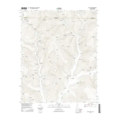
2014 Map of Estill Fork
USGS Topo · Published 2014About this map
Larkin Fork and Hurricane Creek converge near the community of Estillfork, defining a rugged landscape of deep coves and narrow ridges along the Tennessee-Alabama state line. This 2014 survey documents the remote northern reaches of Jackson County, where long-established family names are preserved in locations like Old Grays Cem, Miller Cem, and Sisk Cem. The terrain is characterized by dramatic elevation shifts, from the low waters of the Paint Rock River to the heights of Little Cumberland Mtn and Wilson Top.
Find a feature on this map
113 named features on this map. Tap any name to fly to it.
Don’t see what you’re looking for? This feature index may not catch every label — zoom into the map to look around manually.
Map Details
Editions of this 2014 Estill Fork Map
This is the sole edition of this map. No revisions or reprints were ever made.
Other maps of this area

1888 · Scottsboro
USGS Topo · 1:125,000

1892 · Scottsboro
USGS Topo · 1:125,000

1928 · Decherd
USGS Topo · 1:62,500

1936 · King Cove
USGS Topo · 1:24,000

1936 · Hollytree
USGS Topo · 1:24,000

1936 · Beans Creek
USGS Topo · 1:24,000

1936 · Mud Creek
USGS Topo · 1:24,000

1936 · Hytop
USGS Topo · 1:24,000

1936 · Princeton
USGS Topo · 1:24,000

1936 · Huntland
USGS Topo · 1:24,000