
1936 Map of Princeton
USGS Topo · Published 1936About this map
Paint Rock River and its major tributary, Larkin Fork, define the central valley of this 1936 Jackson County survey. This landscape transition is marked by the steep ascent from the fertile bottomlands near Princeton and Hollytree up to the broad Cumberland Plateau. The map reveals a rural economy centered on the river valley and the numerous coves that cut into the plateau, such as Thompson Cove and Williams Cove. Local infrastructure is sparse but detailed, showing the Camp Ground Ch and Guess Creek Sch serving scattered farmsteads.
Find a feature on this map
43 named features on this map. Tap any name to fly to it.
Don’t see what you’re looking for? This feature index may not catch every label — zoom into the map to look around manually.
Map Details
Editions of this 1936 Princeton Map
This is the sole edition of this map. No revisions or reprints were ever made.
Other maps of this area

1888 · Scottsboro
USGS Topo · 1:125,000

1892 · Scottsboro
USGS Topo · 1:125,000

1936 · Scottsboro
USGS Topo · 1:24,000

1936 · King Cove
USGS Topo · 1:24,000

1936 · Hollytree
USGS Topo · 1:24,000

1936 · Mud Creek
USGS Topo · 1:24,000

1936 · Hytop
USGS Topo · 1:24,000

1936 · Lim Rock
USGS Topo · 1:24,000
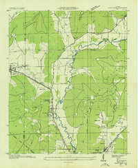
1936 · Paint Rock
USGS Topo · 1:24,000
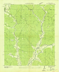
1939 · Estill Fork
USGS Topo · 1:24,000