
1936 Map of Lim Rock
USGS Topo · Published 1936About this map
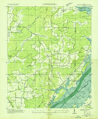
The Paint Rock River and Cumberland Plateau terrain define this 1936 survey of Jackson County, capturing a landscape in the midst of massive change. The Tennessee Valley Authority is active here, noting the Guntersville Reservoir outline as it prepares to alter the local hydrology. Local life centers on the Southern Railway corridor, which connects the settlements of Lim Rock and Larkinsville along the Lee Highway.
Find a feature on this map
64 named features on this map. Tap any name to fly to it.
Don’t see what you’re looking for? This feature index may not catch every label — zoom into the map to look around manually.
Map Details
Editions of this 1936 Lim Rock Map
This is the sole edition of this map. No revisions or reprints were ever made.
Other maps of this area

1888 · Scottsboro
USGS Topo · 1:125,000

1892 · Scottsboro
USGS Topo · 1:125,000

1936 · Scottsboro
USGS Topo · 1:24,000

1936 · Langston
USGS Topo · 1:24,000

1936 · Hollytree
USGS Topo · 1:24,000

1936 · Mud Creek
USGS Topo · 1:24,000

1936 · Grant
USGS Topo · 1:24,000

1936 · Princeton
USGS Topo · 1:24,000
1936 · Swearengin
USGS Topo · 1:24,000
1936 · Paint Rock
USGS Topo · 1:24,000