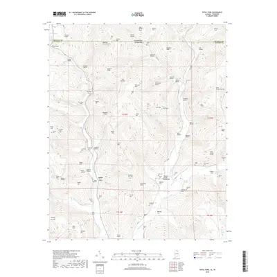
2018 Map of Estill Fork
USGS Topo · Published 2018About this map
Larkin Fork and Estill Fork carve through the deep hollows of Jackson County, Alabama, as they flow south toward the Paint Rock River. This 2018 survey reveals a landscape where modern roads like Co RD 175 follow the historic valley floor, connecting the small settlements of Francisco and Estillfork. The area is densely populated with family burial grounds, including the Old Bostick Hill Cem and Posey Cem, which reflect generations of settlement in this northern Alabama borderland near the Tennessee state line.
Find a feature on this map
112 named features on this map. Tap any name to fly to it.
Don’t see what you’re looking for? This feature index may not catch every label — zoom into the map to look around manually.
Map Details
Editions of this 2018 Estill Fork Map
This is the sole edition of this map. No revisions or reprints were ever made.
Other maps of this area

1888 · Scottsboro
USGS Topo · 1:125,000

1892 · Scottsboro
USGS Topo · 1:125,000

1928 · Decherd
USGS Topo · 1:62,500

1936 · King Cove
USGS Topo · 1:24,000

1936 · Hollytree
USGS Topo · 1:24,000

1936 · Beans Creek
USGS Topo · 1:24,000

1936 · Mud Creek
USGS Topo · 1:24,000

1936 · Hytop
USGS Topo · 1:24,000

1936 · Princeton
USGS Topo · 1:24,000

1936 · Huntland
USGS Topo · 1:24,000