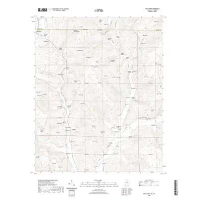
2020 Map of Estill Fork
USGS Topo · Published 2020About this map
Francisco and Estillfork anchor this rugged topographic portrait of the Alabama-Tennessee borderlands in Jackson County. The landscape is defined by the winding course of the Paint Rock River and its major tributaries, including the Larkin Fork and Estill Fork, which carve through a dense network of ridges and hollows. This area is a significant site for family history research, as evidenced by the high density of small burial grounds such as Old Bostick Hill Cem, Sam Hinshaw Cem, and the McCullough Cem. The map reveals a settlement pattern dictated by the terrain, with homes and roads clinging to the narrow valley floors beneath prominent features like Miller Mtn and Backbone Ridge. Infrastructure like the Freedom Bridge and specialized landmarks such as The Narrows highlight the challenges and natural gateways of this isolated highland region.
Find a feature on this map
159 named features on this map. Tap any name to fly to it.
Don’t see what you’re looking for? This feature index may not catch every label — zoom into the map to look around manually.
Map Details
Editions of this 2020 Estill Fork Map
This is the sole edition of this map. No revisions or reprints were ever made.
Other maps of this area

1888 · Scottsboro
USGS Topo · 1:125,000

1892 · Scottsboro
USGS Topo · 1:125,000

1928 · Decherd
USGS Topo · 1:62,500

1936 · King Cove
USGS Topo · 1:24,000

1936 · Hollytree
USGS Topo · 1:24,000

1936 · Beans Creek
USGS Topo · 1:24,000

1936 · Mud Creek
USGS Topo · 1:24,000

1936 · Hytop
USGS Topo · 1:24,000

1936 · Princeton
USGS Topo · 1:24,000

1936 · Huntland
USGS Topo · 1:24,000