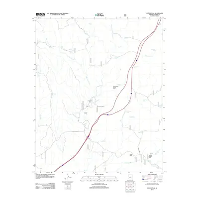
2012 Map of Estler Peak
USGS Topo · Published 2012About this map
The Quarter Circle V Bar Ranch anchors this high-desert landscape in Yavapai County, where ranching heritage meets the infrastructure of the Interstate 17 corridor. The terrain is defined by a complex network of seasonal washes and drainage basins, most notably Osborne Spring Wash and Yarber Wash, which feed toward the Agua Fria River in the southwest.
Find a feature on this map
40 named features on this map. Tap any name to fly to it.
Don’t see what you’re looking for? This feature index may not catch every label — zoom into the map to look around manually.
Map Details
Editions of this 2012 Estler Peak Map
This is the sole edition of this map. No revisions or reprints were ever made.
Other maps of this area

1887 · Verde
USGS Topo · 1:250,000

1887 · Prescott
USGS Topo · 1:250,000

1892 · Verde
USGS Topo · 1:250,000

1892 · Prescott
USGS Topo · 1:250,000

1903 · Bradshaw Mountains
USGS Topo · 1:125,000

1905 · Jerome
USGS Topo · 1:125,000

1923 · Camp Verde
USGS Topo · 1:125,000

1929 · Turret Peak
USGS Topo · 1:125,000

1932 · Camp Verde
USGS Topo · 1:125,000

1933 · Turret Peak
USGS Topo · 1:125,000