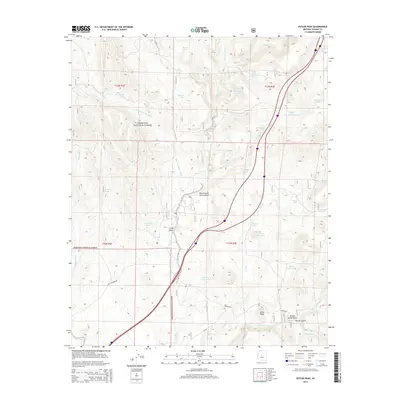
2014 Map of Estler Peak
USGS Topo · Published 2014About this map
Estler Peak rises as the central landmark in this portion of the Prescott National Forest in Yavapai County. The landscape is defined by a dense network of seasonal drainages and cattle-ranching infrastructure, indicated by numerous water catchments like Metate Tank, Antelope Tank, and Hance Mesa Tank. This 2014 survey reveals a transition from the elevated Long Ridge down through deep cuts such as Government Spring Gulch and Horner Gulch. Human movement through this arid terrain follows established routes like Old Sycamore Rd and Dugas Rd, which connect the scattered water sources vital to the area's high-desert grazing history. The concentration of named springs, including Cedar Spring and Osborne Spring, highlights the critical importance of reliable water in the Arizona backcountry.
Find a feature on this map
46 named features on this map. Tap any name to fly to it.
Don’t see what you’re looking for? This feature index may not catch every label — zoom into the map to look around manually.
Map Details
Editions of this 2014 Estler Peak Map
This is the sole edition of this map. No revisions or reprints were ever made.
Other maps of this area

1887 · Verde
USGS Topo · 1:250,000

1887 · Prescott
USGS Topo · 1:250,000

1892 · Verde
USGS Topo · 1:250,000

1892 · Prescott
USGS Topo · 1:250,000

1903 · Bradshaw Mountains
USGS Topo · 1:125,000

1905 · Jerome
USGS Topo · 1:125,000

1923 · Camp Verde
USGS Topo · 1:125,000

1929 · Turret Peak
USGS Topo · 1:125,000

1932 · Camp Verde
USGS Topo · 1:125,000

1933 · Turret Peak
USGS Topo · 1:125,000