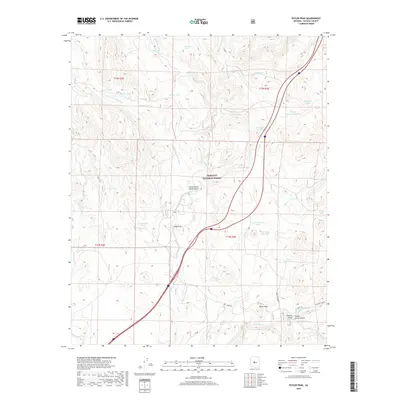
2018 Map of Estler Peak
USGS Topo · Published 2018About this map
Prescott National Forest defines the rugged geography of this Yavapai County terrain, where historical land management and water access are meticulously documented. The landscape is a network of drainages and seasonal washes, such as Ash Cr and Hackberry Wash, interspersed with named stock tanks like V Bar Tank and Sterling Tank. These features, along with Government Spring and Cedar Spring, highlight the critical importance of water resources in the high desert ranching economy.
Find a feature on this map
43 named features on this map. Tap any name to fly to it.
Don’t see what you’re looking for? This feature index may not catch every label — zoom into the map to look around manually.
Map Details
Editions of this 2018 Estler Peak Map
This is the sole edition of this map. No revisions or reprints were ever made.
Other maps of this area

1887 · Verde
USGS Topo · 1:250,000

1887 · Prescott
USGS Topo · 1:250,000

1892 · Verde
USGS Topo · 1:250,000

1892 · Prescott
USGS Topo · 1:250,000

1903 · Bradshaw Mountains
USGS Topo · 1:125,000

1905 · Jerome
USGS Topo · 1:125,000

1923 · Camp Verde
USGS Topo · 1:125,000

1929 · Turret Peak
USGS Topo · 1:125,000

1932 · Camp Verde
USGS Topo · 1:125,000

1933 · Turret Peak
USGS Topo · 1:125,000