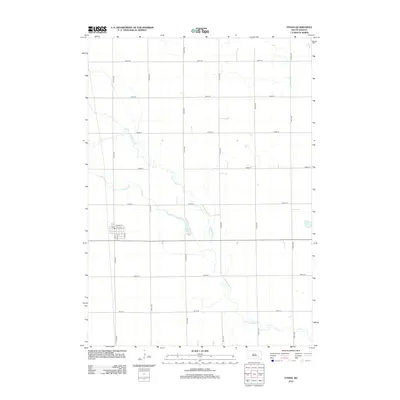
2012 Map of Ethan
USGS Topo · Published 2012About this map
Ethan anchors the western portion of this Davison County landscape, where the town's grid is clearly defined by streets such as E Main St and E Maple St. A centrally located Po marks the community hub, while the surrounding countryside is organized by a meticulous network of section-line roads, including 413th Ave and 264th St. The meandering path of Twelvemile Cr provides a natural contrast to the rigid geometry of the agrarian landscape, winding its way southeast toward the map's lower margin. Just east of the township, Ethan Lake serves as a prominent local water feature. This survey records the rural character of the region as it appeared in the early 21st century, detailing the transition from organized town streets to the expansive fields and drainage patterns of the South Dakota plains.
Find a feature on this map
22 named features on this map. Tap any name to fly to it.
Don’t see what you’re looking for? This feature index may not catch every label — zoom into the map to look around manually.
Map Details
Editions of this 2012 Ethan Map
This is the sole edition of this map. No revisions or reprints were ever made.
Other maps of this area

1898 · Olivet
USGS Topo · 1:125,000

1899 · Mitchell
USGS Topo · 1:125,000

1899 · Alexandria
USGS Topo · 1:125,000

1955 · Sioux Falls
USGS Topo · 1:250,000

1955 · Mitchell
USGS Topo · 1:250,000

1957 · Alexandria
USGS Topo · 1:24,000

1957 · Ethan
USGS Topo · 1:24,000

1957 · Milltown
USGS Topo · 1:24,000

1957 · Rockport Colony
USGS Topo · 1:24,000

1957 · Riverside
USGS Topo · 1:24,000