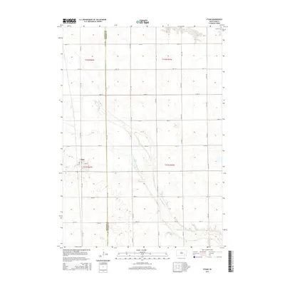
2015 Map of Ethan
USGS Topo · Published 2015About this map
Ethan stands as the primary settlement on this 2015 record of the Great Plains landscape, positioned near the western edge of the quadrangle. The town's grid is centered on E Main St, surrounded by the expansive agricultural sections of Davison Co and Hanson Co. A defining natural feature of the area is Twelvemile Creek, which meanders through the southeastern portion of the map, creating a distinct riparian corridor amidst the township lines of t101n r59w and t102n r59w. The map documents a prairie landscape managed by a regular grid of section roads including 260th St and 267th St, highlighting the enduring township-and-range surveying system. For local historians, the inclusion of Rosedale Cem in the northeast corner and the reservoir at Ethan Lake provide specific points of interest within this rural South Dakota community.
Find a feature on this map
17 named features on this map. Tap any name to fly to it.
Don’t see what you’re looking for? This feature index may not catch every label — zoom into the map to look around manually.
Map Details
Editions of this 2015 Ethan Map
This is the sole edition of this map. No revisions or reprints were ever made.
Other maps of this area

1898 · Olivet
USGS Topo · 1:125,000

1899 · Mitchell
USGS Topo · 1:125,000

1899 · Alexandria
USGS Topo · 1:125,000

1955 · Sioux Falls
USGS Topo · 1:250,000

1955 · Mitchell
USGS Topo · 1:250,000

1957 · Alexandria
USGS Topo · 1:24,000

1957 · Ethan
USGS Topo · 1:24,000

1957 · Milltown
USGS Topo · 1:24,000

1957 · Rockport Colony
USGS Topo · 1:24,000

1957 · Riverside
USGS Topo · 1:24,000