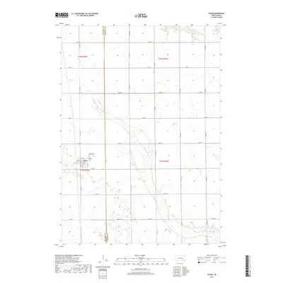
2017 Map of Ethan
USGS Topo · Published 2017About this map
The town of Ethan serves as the focal point of this 2017 survey, situated near the boundary between Davison and Hanson counties. The community is laid out on a grid of residential streets, including E Maple St, E Ash St, and E Elm St. Located on the northern edge of the settlement are two significant local burial grounds, Holy Trinity Catholic Cem and Ethan Hillcrest Cem, which provide essential points of reference for genealogists and local historians.
Find a feature on this map
32 named features on this map. Tap any name to fly to it.
Don’t see what you’re looking for? This feature index may not catch every label — zoom into the map to look around manually.
Map Details
Editions of this 2017 Ethan Map
This is the sole edition of this map. No revisions or reprints were ever made.
Other maps of this area

1898 · Olivet
USGS Topo · 1:125,000

1899 · Mitchell
USGS Topo · 1:125,000

1899 · Alexandria
USGS Topo · 1:125,000

1955 · Sioux Falls
USGS Topo · 1:250,000

1955 · Mitchell
USGS Topo · 1:250,000

1957 · Alexandria
USGS Topo · 1:24,000

1957 · Ethan
USGS Topo · 1:24,000

1957 · Milltown
USGS Topo · 1:24,000

1957 · Rockport Colony
USGS Topo · 1:24,000

1957 · Riverside
USGS Topo · 1:24,000