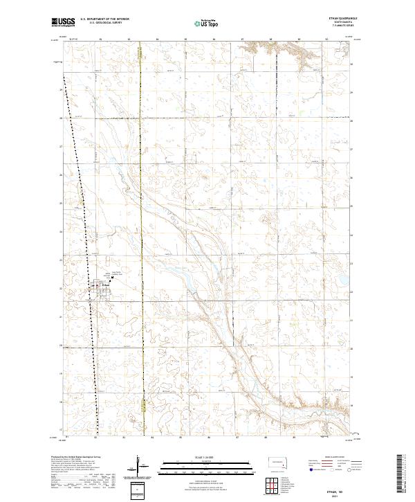
2021 Map of Ethan
USGS Topo · Published 2021About this map
Ethan serves as the primary hub for this agricultural landscape, situated at the junction of the Davison and Hanson County line. The settlement's local history is anchored by the presence of both the Ethan Hillcrest Cemetery and the Holy Trinity Catholic Cemetery, reflecting the community's early social and religious foundations. Outside the town limits, the terrain is defined by the winding path of Twelvemile Creek, which drains toward the southeast, and the man-made Ethan Lake north of the village.
Find a feature on this map
27 named features on this map. Tap any name to fly to it.
Don’t see what you’re looking for? This feature index may not catch every label — zoom into the map to look around manually.
Map Details
Editions of this 2021 Ethan Map
This is the sole edition of this map. No revisions or reprints were ever made.
Other maps of this area

1898 · Olivet
USGS Topo · 1:125,000

1899 · Mitchell
USGS Topo · 1:125,000

1899 · Alexandria
USGS Topo · 1:125,000

1955 · Sioux Falls
USGS Topo · 1:250,000

1955 · Mitchell
USGS Topo · 1:250,000

1957 · Alexandria
USGS Topo · 1:24,000

1957 · Ethan
USGS Topo · 1:24,000

1957 · Milltown
USGS Topo · 1:24,000

1957 · Rockport Colony
USGS Topo · 1:24,000

1957 · Riverside
USGS Topo · 1:24,000