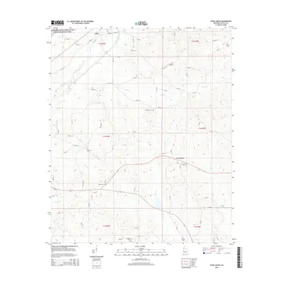
2015 Map of Ethel South
USGS Topo · Published 2015About this map
The Yockanookany River and its numerous tributaries, including Turkey Cr and Conehoma Cr, define the drainage patterns of this central Mississippi landscape. The small community of Ethel sits in the northwest corner, served by a network of rural roads such as Mill RD and Pope ST. Further south, the settlement of Providence acts as a local hub near several watercourses like Archie Cr and Kyle Cr.
Find a feature on this map
75 named features on this map. Tap any name to fly to it.
Don’t see what you’re looking for? This feature index may not catch every label — zoom into the map to look around manually.
Map Details
Editions of this 2015 Ethel South Map
This is the sole edition of this map. No revisions or reprints were ever made.
Other maps of this area

1953 · Meridian
USGS Topo · 1:250,000

1953 · West Point
USGS Topo · 1:250,000

1957 · Meridian
USGS Topo · 1:250,000

1958 · West Point
USGS Topo · 1:250,000

1962 · Edinburg
USGS Topo · 1:62,500

1962 · Thomastown
USGS Topo · 1:62,500

1963 · West Point
USGS Topo · 1:250,000

1964 · Kosciusko NE
USGS Topo · 1:24,000

1964 · Kosciusko
USGS Topo · 1:24,000

1965 · Meridian
USGS Topo · 1:250,000