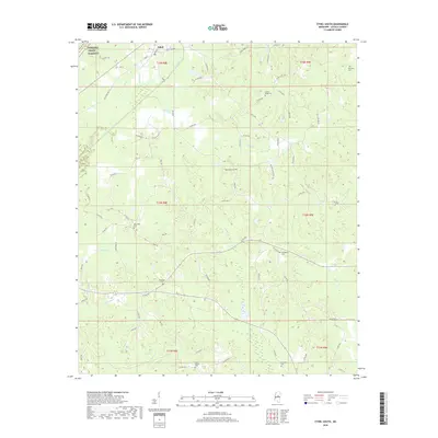
2018 Map of Ethel South
USGS Topo · Published 2018About this map
Ethel sits at the northern edge of this Attala County landscape, where the modern path of Bus 12 and historical routes intersect near the Yockanookany River. The terrain is defined by a dense network of tributaries including Le Flore Cr, Turkey Cr, and Cowpen Cr, which carve through the rural countryside. For genealogists and local historians, the map is a significant record of family and community resting places, documenting numerous small burial grounds such as Harmony Cem, Carson Ridge Cem, Tabernacle Cem, and Breazeale Cem. The northwestern corner is clipped by the historic corridor of the Natchez Trace Parkway, a reminder of the region's deep roots as a travel artery. The distribution of sites like New Hope Cem and Providence Cem suggests a pattern of decentralized settlement typical of this part of Mississippi, where life was historically anchored by small country churches and family landholdings.
Find a feature on this map
78 named features on this map. Tap any name to fly to it.
Don’t see what you’re looking for? This feature index may not catch every label — zoom into the map to look around manually.
Map Details
Editions of this 2018 Ethel South Map
This is the sole edition of this map. No revisions or reprints were ever made.
Other maps of this area

1953 · Meridian
USGS Topo · 1:250,000

1953 · West Point
USGS Topo · 1:250,000

1957 · Meridian
USGS Topo · 1:250,000

1958 · West Point
USGS Topo · 1:250,000

1962 · Edinburg
USGS Topo · 1:62,500

1962 · Thomastown
USGS Topo · 1:62,500

1963 · West Point
USGS Topo · 1:250,000

1964 · Kosciusko NE
USGS Topo · 1:24,000

1964 · Kosciusko
USGS Topo · 1:24,000

1965 · Meridian
USGS Topo · 1:250,000