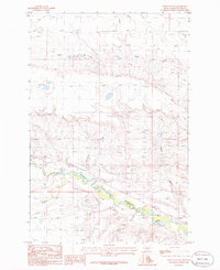
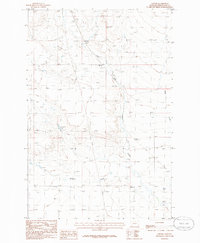
1986 Map of Ethels Coulee
USGS Topo · Published 1986About this map
The Musselshell River carves a winding path through this portion of Wheatland County, serving as the primary geographic anchor for the surrounding rangeland. The landscape is defined by the convergence of several waterways, including American Fork, Alkali Creek, and Timber Creek, each contributing to the complex drainage system of coulees and breaks. Evidence of earlier transportation infrastructure is visible in the Old RR Grade that parallels the river, marking a former corridor of movement through this territory.
Find a feature on this map
13 named features on this map. Tap any name to fly to it.
Don’t see what you’re looking for? This feature index may not catch every label — zoom into the map to look around manually.
Map Details
Editions of this 1986 Ethels Coulee Map
This is the sole edition of this map. No revisions or reprints were ever made.
Other maps of this area

1889 · Big Snowy Mountain
USGS Topo · 1:250,000

1893 · Big Snowy Mountain
USGS Topo · 1:250,000

1954 · Roundup
USGS Topo · 1:250,000

1958 · Roundup
USGS Topo · 1:250,000
1986 · Oka
USGS Topo · 1:24,000
1986 · Ten O'Clock Gate
USGS Topo · 1:24,000

1986 · Shawmut
USGS Topo · 1:24,000
1986 · Devils Pocket
USGS Topo · 1:24,000
1986 · Oxford
USGS Topo · 1:24,000
1986 · Harlowton
USGS Topo · 1:24,000