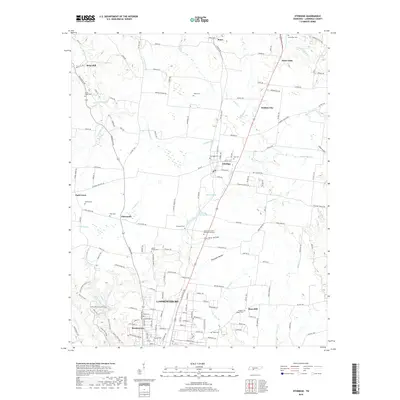
2019 Map of Ethridge
USGS Topo · Published 2019About this map
The city of Lawrenceburg serves as the southern anchor of this 2019 survey, where the rolling plateau begins to break into a series of hollows. Local genealogy is well-documented through a dense concentration of burial sites, including the Mount Ararat Cem and Lawrence County Memorial Gardens near the center, and the more peripheral Shady Grove Cem and Alexander Cem. The northern landscape is characterized by established settlements such as Ethridge and Brace, while David Crockett State Park preserves the natural character of the southwestern corner.
Find a feature on this map
169 named features on this map. Tap any name to fly to it.
Don’t see what you’re looking for? This feature index may not catch every label — zoom into the map to look around manually.
Map Details
Editions of this 2019 Ethridge Map
This is the sole edition of this map. No revisions or reprints were ever made.
Other maps of this area

1936 · Sandy Hook
USGS Topo · 1:24,000

1936 · Deerfield
USGS Topo · 1:24,000

1936 · Henryville
USGS Topo · 1:24,000

1936 · Campbellsville
USGS Topo · 1:24,000

1936 · Lawrenceburg
USGS Topo · 1:24,000

1936 · Ethridge
USGS Topo · 1:24,000

1936 · Long Branch
USGS Topo · 1:24,000

1936 · Crestview
USGS Topo · 1:24,000

1936 · Bodenham
USGS Topo · 1:24,000

1948 · Bodenham
USGS Topo · 1:24,000