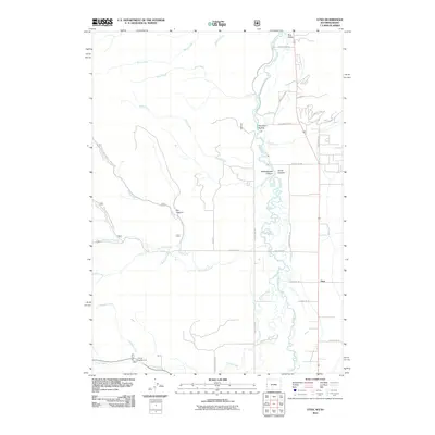
2011 Map of Etna
USGS Topo · Published 2011About this map
Star Valley opens along the winding course of the Salt River in this detailed 2011 record of the Wyoming-Idaho borderlands. The settlement of Etna serves as the local hub, situated where the valley floor meets the rising slopes of Aspen Hl. The landscape is defined by the drainage patterns of numerous mountain streams, including Tincup Creek, Jackknife Creek, and Miller Creek, which carve distinct geological features like Newswander Canyon and Corral Canyon.
Find a feature on this map
39 named features on this map. Tap any name to fly to it.
Don’t see what you’re looking for? This feature index may not catch every label — zoom into the map to look around manually.
Map Details
Editions of this 2011 Etna Map
This is the sole edition of this map. No revisions or reprints were ever made.
Other maps of this area

1915 · Freedom
USGS Topo · 1:62,500

1921 · Afton
USGS Topo · 1:125,000

1931 · Jackson
USGS Topo · 1:125,000

1932 · Irwin
USGS Topo · 1:96,000

1935 · Irwin
USGS Topo · 1:125,000

1935 · Jackson
USGS Topo · 1:125,000

1955 · Driggs
USGS Topo · 1:250,000

1955 · Preston
USGS Topo · 1:250,000

1958 · Driggs
USGS Topo · 1:250,000

1958 · Preston
USGS Topo · 1:250,000