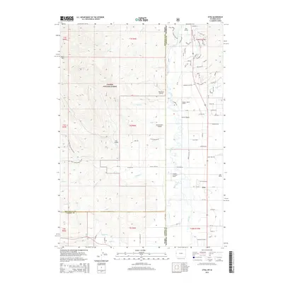
2015 Map of Etna
USGS Topo · Published 2015About this map
The Star Valley community of Etna sits at the intersection of mountain terrain and fertile river bottoms along the Salt River. This 2015 survey documents the interface between private ranch lands and the eastern boundary of the Caribou National Forest, where the landscape rises sharply into features like Black Mtn and Newswander Canyon. The map reveals a high concentration of private aviation and ranching infrastructure, notably the Double L Ranch Airport and Freedom Air Ranch Airport.
Find a feature on this map
97 named features on this map. Tap any name to fly to it.
Don’t see what you’re looking for? This feature index may not catch every label — zoom into the map to look around manually.
Map Details
Editions of this 2015 Etna Map
This is the sole edition of this map. No revisions or reprints were ever made.
Other maps of this area

1915 · Freedom
USGS Topo · 1:62,500

1921 · Afton
USGS Topo · 1:125,000

1931 · Jackson
USGS Topo · 1:125,000

1932 · Irwin
USGS Topo · 1:96,000

1935 · Irwin
USGS Topo · 1:125,000

1935 · Jackson
USGS Topo · 1:125,000

1955 · Driggs
USGS Topo · 1:250,000

1955 · Preston
USGS Topo · 1:250,000

1958 · Driggs
USGS Topo · 1:250,000

1958 · Preston
USGS Topo · 1:250,000