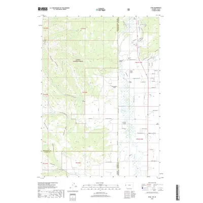
2018 Map of Etna
USGS Topo · Published 2018About this map
The Salt River valley serves as a geographic anchor on this 2018 survey, straddling the border between Idaho and Wyoming. To the west, the steep, high elevations of the Caribou National Forest dominate the landscape, featuring prominent peaks like Black Mtn and the long stretch of Haderlie Ridge. This area is defined by its drainage systems, with numerous tributaries such as Jackknife Cr and Tincup Cr carving deep paths through the terrain toward the valley floor.
Find a feature on this map
88 named features on this map. Tap any name to fly to it.
Don’t see what you’re looking for? This feature index may not catch every label — zoom into the map to look around manually.
Map Details
Editions of this 2018 Etna Map
This is the sole edition of this map. No revisions or reprints were ever made.
Other maps of this area

1915 · Freedom
USGS Topo · 1:62,500

1921 · Afton
USGS Topo · 1:125,000

1931 · Jackson
USGS Topo · 1:125,000

1932 · Irwin
USGS Topo · 1:96,000

1935 · Irwin
USGS Topo · 1:125,000

1935 · Jackson
USGS Topo · 1:125,000

1955 · Driggs
USGS Topo · 1:250,000

1955 · Preston
USGS Topo · 1:250,000

1958 · Driggs
USGS Topo · 1:250,000

1958 · Preston
USGS Topo · 1:250,000