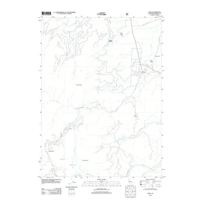
2012 Map of Etna
USGS Topo · Published 2012About this map
Etna sits as the primary settlement in this northern California landscape, where the valley floor meets the steep ascent of the Salmon Mountains. The map highlights the town's local geography, including the Po and roads like Lovers Ln and Sawyers Bar Rd that lead into the high country. As the terrain rises to the west, numerous drainages such as Whisky Cr and Etna Cr carve through the slopes, eventually reaching heights like Etna Mountain and Etna Summit.
Find a feature on this map
32 named features on this map. Tap any name to fly to it.
Don’t see what you’re looking for? This feature index may not catch every label — zoom into the map to look around manually.
Map Details
Editions of this 2012 Etna Map
This is the sole edition of this map. No revisions or reprints were ever made.
Other maps of this area

1886 · Shasta
USGS Topo · 1:250,000

1894 · Shasta
USGS Topo · 1:250,000

1914 · Seiad
USGS Topo · 1:125,000

1922 · Seiad
USGS Topo · 1:125,000

1923 · Sawyers Bar
USGS Topo · 1:125,000

1931 · Etna
USGS Topo · 1:96,000

1932 · Yreka
USGS Topo · 1:96,000

1934 · Etna
USGS Topo · 1:125,000

1939 · Yreka
USGS Topo · 1:125,000

1948 · Weed
USGS Topo · 1:250,000