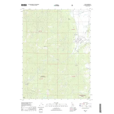
2018 Map of Etna
USGS Topo · Published 2018About this map
Etna anchors the northeastern corner of this Siskiyou County landscape, where the grid of the town center transitions into the deep canyons and high ridges of the Klamath National Forest. The geography is defined by a series of significant peaks and gaps, including Etna Mtn, Whisky Butte, and Ruffey Gap. Water systems are central to the terrain here, from the northern Johnson Creek Falls to the high-elevation Ruffey Lakes and Wicks Lake tucked near the ridges of the Marble Mountains and Salmon Mountains.
Find a feature on this map
57 named features on this map. Tap any name to fly to it.
Don’t see what you’re looking for? This feature index may not catch every label — zoom into the map to look around manually.
Map Details
Editions of this 2018 Etna Map
This is the sole edition of this map. No revisions or reprints were ever made.
Other maps of this area

1886 · Shasta
USGS Topo · 1:250,000

1894 · Shasta
USGS Topo · 1:250,000

1914 · Seiad
USGS Topo · 1:125,000

1922 · Seiad
USGS Topo · 1:125,000

1923 · Sawyers Bar
USGS Topo · 1:125,000

1931 · Etna
USGS Topo · 1:96,000

1932 · Yreka
USGS Topo · 1:96,000

1934 · Etna
USGS Topo · 1:125,000

1939 · Yreka
USGS Topo · 1:125,000

1948 · Weed
USGS Topo · 1:250,000