Loading...
Loading map...2022 Map of Etna
USGS Topo · Published 2022About this map
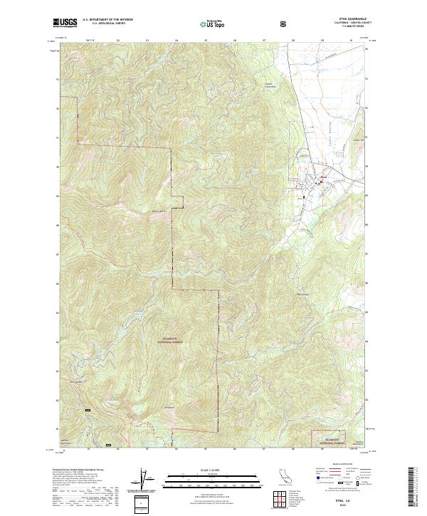
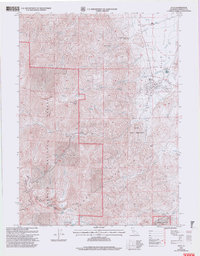
The mountain settlement of Etna sits at the edge of the Scott Valley, where the valley floor meets the steep ascent of the Klamath National Forest. This 2022 survey captures a landscape defined by its rugged topography and transitional zones between agriculture and alpine wilderness. Roads like Sawyers Bar Rd wind westward from the town toward Etna Summit, providing access to the high peaks of the Marble Mountains and Salmon Mountains.
Find a feature on this map
95 named features on this map. Tap any name to fly to it.
Don’t see what you’re looking for? This feature index may not catch every label — zoom into the map to look around manually.
Map Details
Date Portrayed2022
Date Published2022
PublisherU.S. Geological Survey
Map TypeTopographic
Scale1:24000
Physical Dimensions24 x 29 inches
Editions of this 2022 Etna Map
This is the sole edition of this map. No revisions or reprints were ever made.
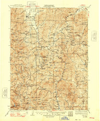
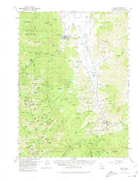
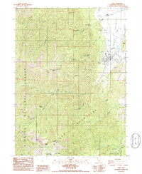
Historical Maps of Deacon Lee Place Through Time
6 maps found

Featured Locations
Source Details
SourceU.S. Geological Survey
CopyrightPublic Domain