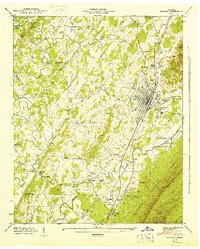
1944 Map of Etowah
USGS Topo · Published 1946About this map
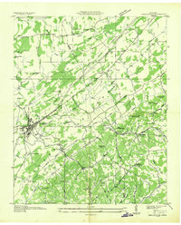
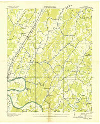
The Louisville and Nashville railroad corridor anchors the industrial and social development of this McMinn County landscape, running directly through the heart of Etowah. This mid-century survey reveals a dense network of small agrarian communities and rural institutions, including the Wesleyana Sch and North Etowah Sch, alongside family-named landmarks like the John Harris Ch. The transition from the developed valley floor to the wilderness of the Cherokee National Forest in the southeast is marked by the Conasauga River and various springs, including Tuggle Spring.
Find a feature on this map
64 named features on this map. Tap any name to fly to it.
Don’t see what you’re looking for? This feature index may not catch every label — zoom into the map to look around manually.
Map Details
Editions of this 1944 Etowah Map
This is the sole edition of this map. No revisions or reprints were ever made.
Other maps of this area

1886 · Cleveland
USGS Topo · 1:125,000

1892 · Cleveland
USGS Topo · 1:125,000

1893 · Murphy
USGS Topo · 1:125,000

1895 · Cleveland
USGS Topo · 1:125,000

1901 · Cleveland
USGS Topo · 1:125,000

1914 · Murphy
USGS Topo · 1:125,000

1934 · Mecca
USGS Topo · 1:24,000
1934 · Englewood
USGS Topo · 1:24,000

1935 · Tellico
USGS Topo · 1:48,000
1935 · Calhoun
USGS Topo · 1:24,000