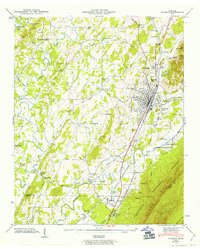
1943 Map of Etowah
USGS Topo · Published 1963About this map
Etowah stands as the central hub of this 1940s landscape, defined by the industrial spine of the Louisville and Nashville railroad. The map records the town's grid and surrounding clusters like East Etowah, Goosetown, and Balltown, illustrating the density of settlement that grew alongside the rail line. To the east, the terrain rises sharply into the Starr Mountain Cherokee National Forest, creating a natural barrier that funnelled transport and development along the Cane Creek valley.
Find a feature on this map
83 named features on this map. Tap any name to fly to it.
Don’t see what you’re looking for? This feature index may not catch every label — zoom into the map to look around manually.
Map Details
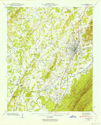
Editions of this 1943 Etowah Map
2 editions found
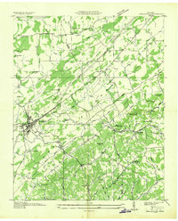
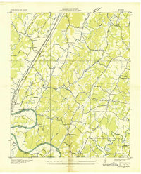
Other maps of this area

1886 · Cleveland
USGS Topo · 1:125,000

1892 · Cleveland
USGS Topo · 1:125,000

1893 · Murphy
USGS Topo · 1:125,000

1895 · Cleveland
USGS Topo · 1:125,000

1901 · Cleveland
USGS Topo · 1:125,000

1914 · Murphy
USGS Topo · 1:125,000

1934 · Mecca
USGS Topo · 1:24,000
1934 · Englewood
USGS Topo · 1:24,000

1935 · Tellico
USGS Topo · 1:48,000
1935 · Calhoun
USGS Topo · 1:24,000