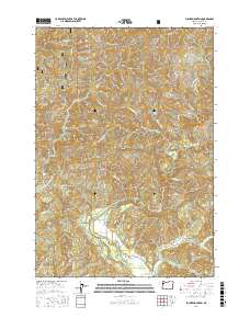
2017 Map of Euchre Mountain
USGS Topo · Published 2017About this map
Euchre Mountain and the surrounding coastal ranges dominate this landscape, where the Siuslaw National Forest encompasses a complex drainage system within the Central Oregon Coast Range. The terrain is defined by its vertical relief, with notable peaks like Little Euchre Mtn and Gobblers Knob standing above a network of narrow creek valleys. The Siletz River winds through the southern portion of the quadrangle, carving distinct geological features such as the Lower Gorge and the pool known as Powderhouse Hole.
Find a feature on this map
39 named features on this map. Tap any name to fly to it.
Don’t see what you’re looking for? This feature index may not catch every label — zoom into the map to look around manually.
Map Details
Editions of this 2017 Euchre Mountain Map
This is the sole edition of this map. No revisions or reprints were ever made.
Other maps of this area

1939 · Marys Peak
USGS Topo · 1:62,500

1942 · Euchre Mtn
USGS Topo · 1:62,500

1942 · Marys Peak
USGS Topo · 1:62,500

1942 · Valsetz
USGS Topo · 1:62,500

1942 · Toledo
USGS Topo · 1:62,500

1943 · Euchre Mtn
USGS Topo · 1:62,500

1953 · Salem
USGS Topo · 1:250,000

1954 · Salem
USGS Topo · 1:250,000

1956 · Valsetz
USGS Topo · 1:62,500

1957 · Marys Peak
USGS Topo · 1:62,500