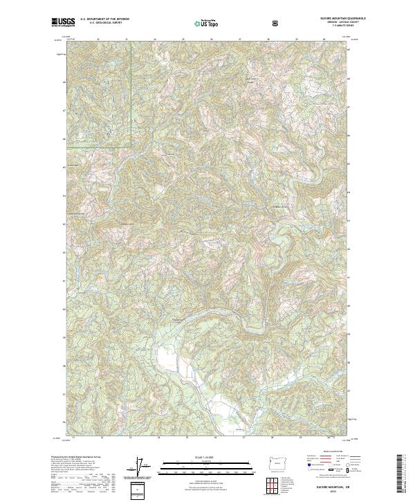
2023 Map of Euchre Mountain
USGS Topo · Published 2023About this map
The Siletz River winds through the heart of the Siuslaw National Forest in this Lincoln County landscape. The map highlights a complex drainage system where West Fork Buck Creek, South Fork Buck Creek, and Euchre Creek converge toward the river's main stem. Distinctive landmarks such as Powderhouse Hole and Euchre Falls punctuate the river's course through the Lower Gorge. The topography is defined by high points like Euchre Mtn, Little Euchre Mtn, and Gobblers Knob, linked by features like Wildcat Ridge and Black Tank Saddle. This modern survey details the network of forestry and access roads, including Moonshine Park Rd and Mill Creek Rd, which provide entry into the timbered interior. The distribution of named points like Lambert Point and numerous small tributaries such as Bentilla Creek and Savage Creek illustrates the intricate watershed geography of the Oregon Coast Range.
Find a feature on this map
41 named features on this map. Tap any name to fly to it.
Don’t see what you’re looking for? This feature index may not catch every label — zoom into the map to look around manually.
Map Details
Editions of this 2023 Euchre Mountain Map
This is the sole edition of this map. No revisions or reprints were ever made.
Other maps of this area

1939 · Marys Peak
USGS Topo · 1:62,500

1942 · Euchre Mtn
USGS Topo · 1:62,500

1942 · Marys Peak
USGS Topo · 1:62,500

1942 · Valsetz
USGS Topo · 1:62,500

1942 · Toledo
USGS Topo · 1:62,500

1943 · Euchre Mtn
USGS Topo · 1:62,500

1953 · Salem
USGS Topo · 1:250,000

1954 · Salem
USGS Topo · 1:250,000

1956 · Valsetz
USGS Topo · 1:62,500

1957 · Marys Peak
USGS Topo · 1:62,500