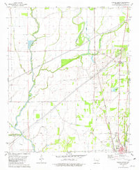
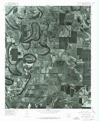
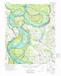
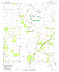
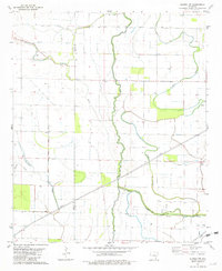
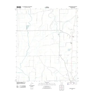
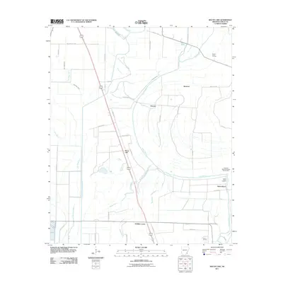
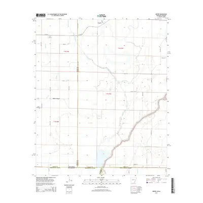
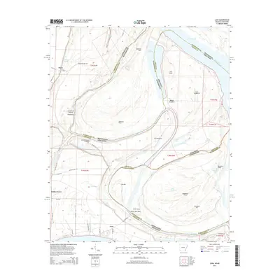
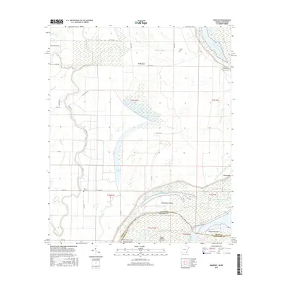
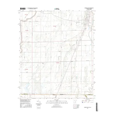
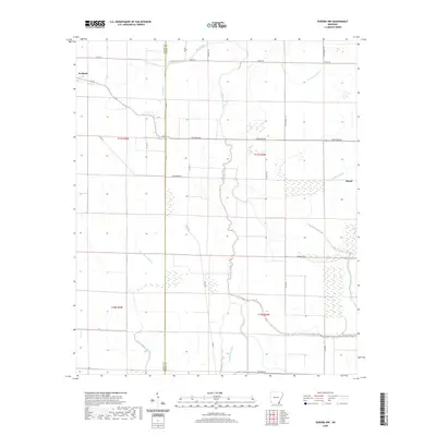
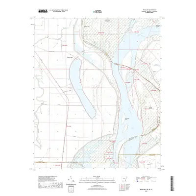
1981 Map of Eudora North
USGS Topo · Published 1982About this map
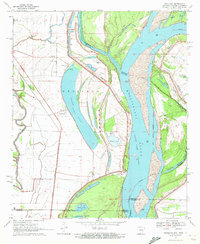
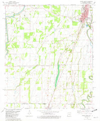
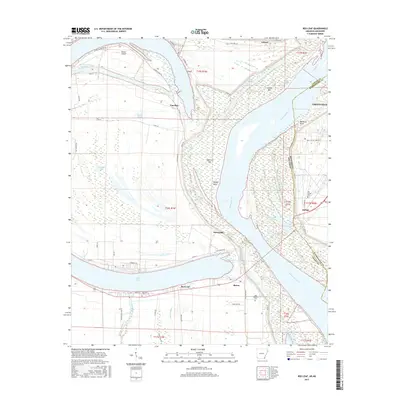
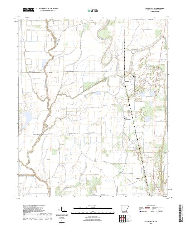
Bayou Macon and the Boeuf River dominate this Chicot County landscape, defining the agricultural and water-management patterns of the Mississippi Delta in the early 1980s. The town of Eudora serves as the primary hub, where the Missouri Pacific railroad line intersects with local commerce near the Fairground. This map reveals a community structured around rural intersections and religious centers, including Gum Corner, Chicot Junction, and several distinctive country churches such as Holly Grove Ch No 1 and Holly Ridge Ch. The presence of Browns Landing Strip and various water control features like Canal No 4 and Big Bayou Canal No 2 highlight the region's reliance on both aviation and sophisticated drainage to support its expansive farm operations.
Find a feature on this map
23 named features on this map. Tap any name to fly to it.
Don’t see what you’re looking for? This feature index may not catch every label — zoom into the map to look around manually.
Map Details
Editions of this 1981 Eudora North Map
This is the sole edition of this map. No revisions or reprints were ever made.
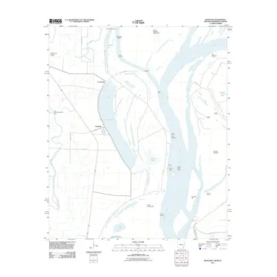
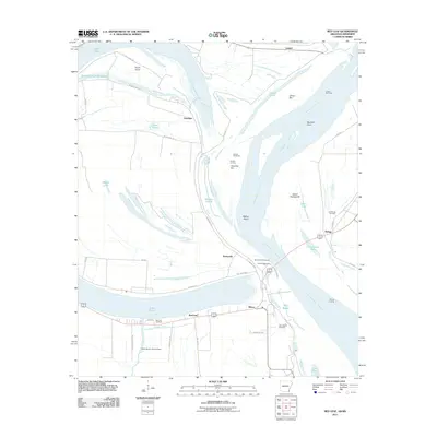
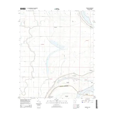
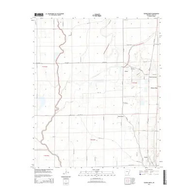
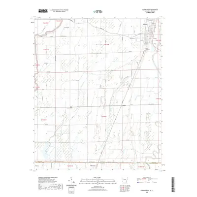
Historical Maps of Eudora Through Time
60 maps found

1933 Lamont
Chicot County, AR
1939 Readland
Chicot County, AR
1970 Eminence
Chicot County, AR
1970 Luna
Chicot County, AR
1970 Readland
Chicot County, AR
1970 Red Leaf
Chicot County, AR
1972 Readland
Chicot County, AR
1975 Lake Village NE
Chicot County, AR
1975 Lake Village NW
Chicot County, AR
1977 Lamont
Chicot County, AR
1981 Empire
Chicot County, AR
1981 Eudora North
Chicot County, AR
1981 Eudora NW
Chicot County, AR
1981 Eudora South
Chicot County, AR
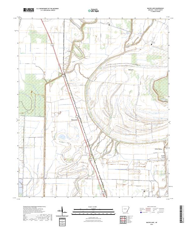
1981 Macon Lake
Chicot County, AR
2011 Eminence
Chicot County, AR
2011 Empire
Chicot County, AR
2011 Eudora North
Chicot County, AR
2011 Eudora NW
Chicot County, AR
2011 Eudora South
Chicot County, AR
2011 Luna
Chicot County, AR
2011 Macon Lake
Chicot County, AR
2011 Readland
Chicot County, AR
2011 Red Leaf
Chicot County, AR
2014 Eminence
Chicot County, AR
2014 Empire
Chicot County, AR
2014 Eudora North
Chicot County, AR
2014 Eudora NW
Chicot County, AR
2014 Eudora South
Chicot County, AR
2014 Luna
Chicot County, AR
2014 Macon Lake
Chicot County, AR
2014 Readland
Chicot County, AR
2014 Red Leaf
Chicot County, AR
2017 Eminence
Chicot County, AR
2017 Empire
Chicot County, AR
2017 Eudora North
Chicot County, AR
2017 Eudora NW
Chicot County, AR
2017 Eudora South
Chicot County, AR
2017 Luna
Chicot County, AR
2017 Macon Lake
Chicot County, AR
2017 Readland
Chicot County, AR
2017 Red Leaf
Chicot County, AR
2020 Eminence
Chicot County, AR
2020 Empire
Chicot County, AR
2020 Eudora North
Chicot County, AR
2020 Eudora NW
Chicot County, AR
2020 Eudora South
Chicot County, AR
2020 Luna
Chicot County, AR
2020 Macon Lake
Chicot County, AR
2020 Readland
Chicot County, AR
2020 Red Leaf
Chicot County, AR
2024 Eminence
Chicot County, AR
2024 Empire
Chicot County, AR
2024 Eudora North
Chicot County, AR
2024 Eudora NW
Chicot County, AR
2024 Eudora South
Chicot County, AR
2024 Luna
Chicot County, AR
2024 Macon Lake
Chicot County, AR
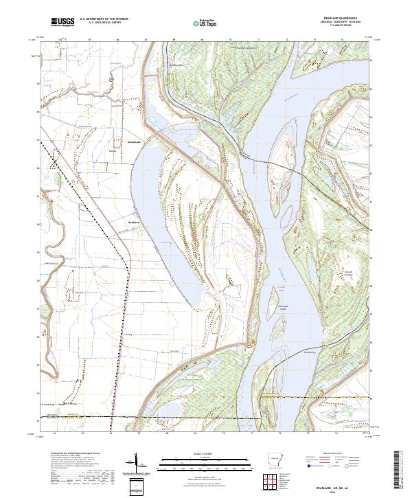
2024 Readland
Chicot County, AR
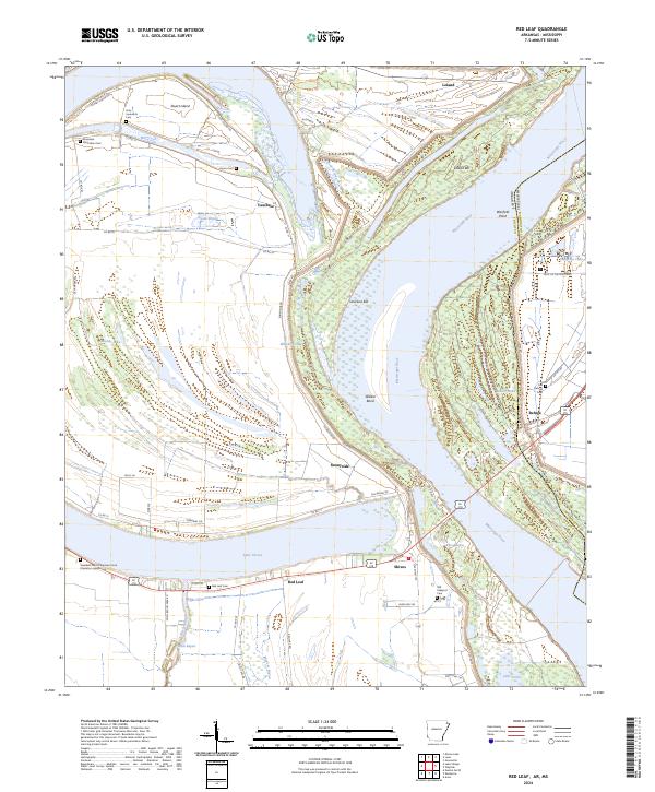
2024 Red Leaf
Chicot County, AR