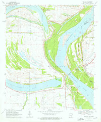
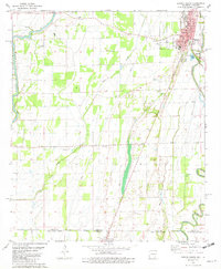
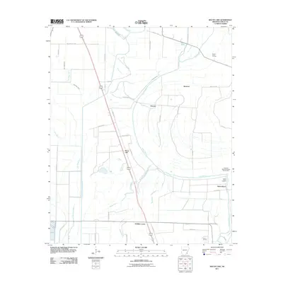
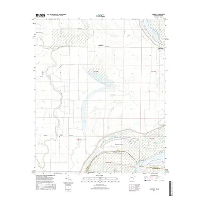
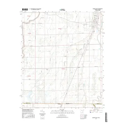
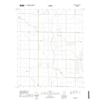
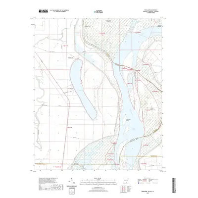
1970 Map of Readland
USGS Topo · Published 1972About this map
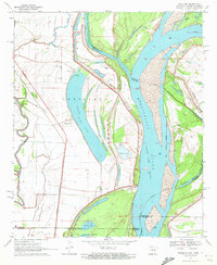
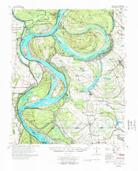
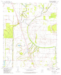
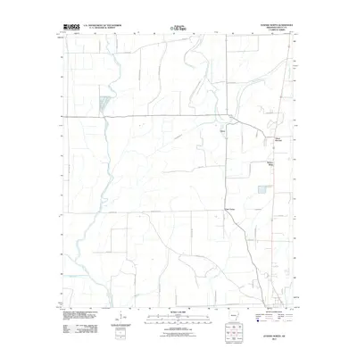
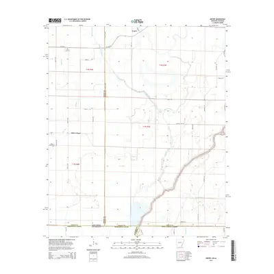
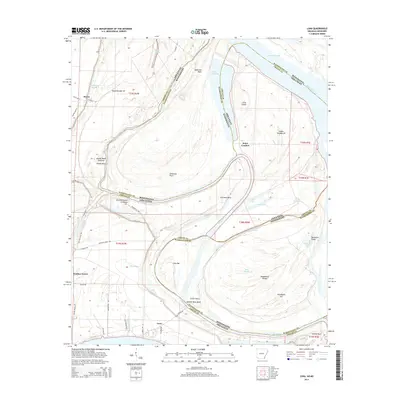
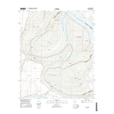
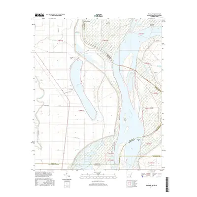
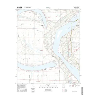
Grand Lake dominates this 1970 landscape, its crescent shape defining the alluvial plain at the intersection of Arkansas, Louisiana, and Mississippi. The small settlements of Readland and Arkla sit west of the lake, served by the Missouri Pacific railroad line. Along the river, a complex system of hydraulic engineering is evident, from the massive Levee system shielding the lowlands to the Grand Lake Cutoff and the northern reach of Kentucky Bend.
Find a feature on this map
27 named features on this map. Tap any name to fly to it.
Don’t see what you’re looking for? This feature index may not catch every label — zoom into the map to look around manually.
Map Details
Editions of this 1970 Readland Map
This is the sole edition of this map. No revisions or reprints were ever made.
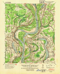
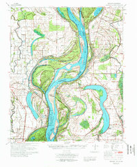
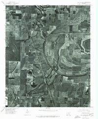
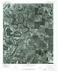
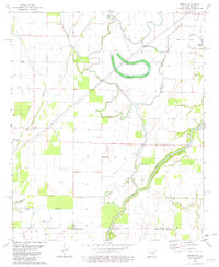
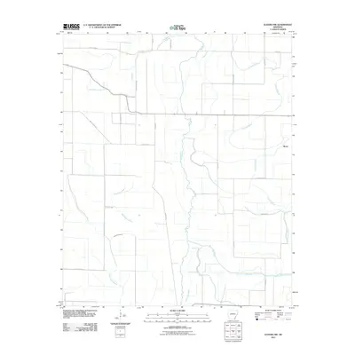
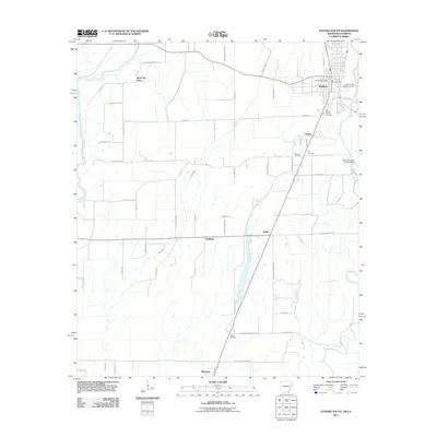
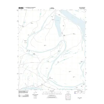
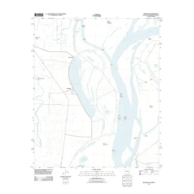
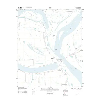
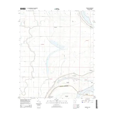
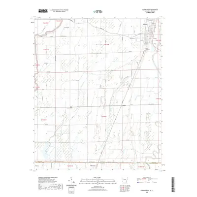
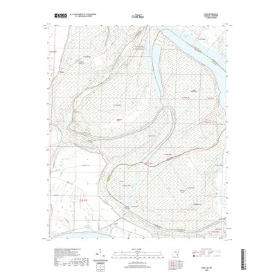
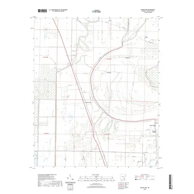
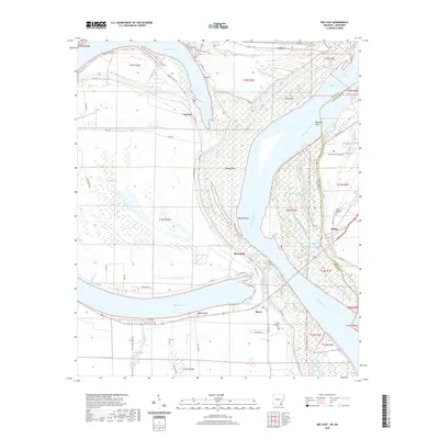
Historical Maps of Grand Lake Through Time
60 maps found

1933 Lamont
Chicot County, AR
1939 Readland
Chicot County, AR
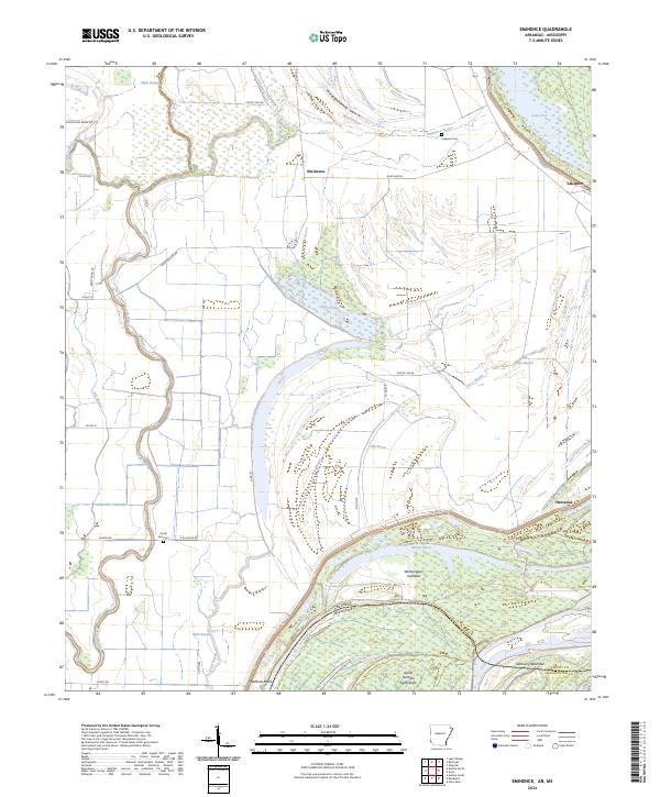
1970 Eminence
Chicot County, AR
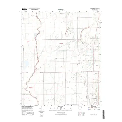
1970 Luna
Chicot County, AR
1970 Readland
Chicot County, AR
1970 Red Leaf
Chicot County, AR
1972 Readland
Chicot County, AR
1975 Lake Village NE
Chicot County, AR
1975 Lake Village NW
Chicot County, AR
1977 Lamont
Chicot County, AR
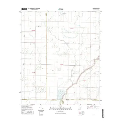
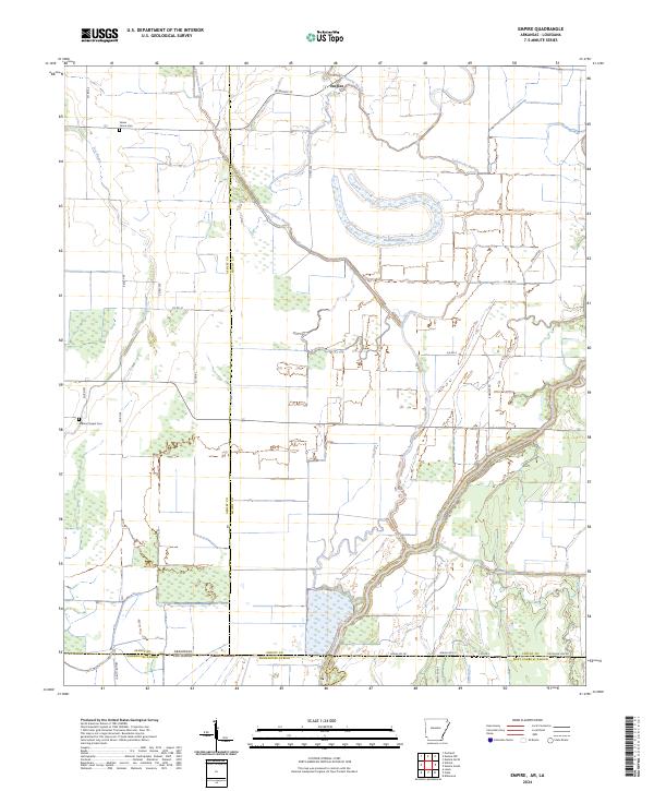
1981 Empire
Chicot County, AR
1981 Eudora North
Chicot County, AR
1981 Eudora NW
Chicot County, AR
1981 Eudora South
Chicot County, AR
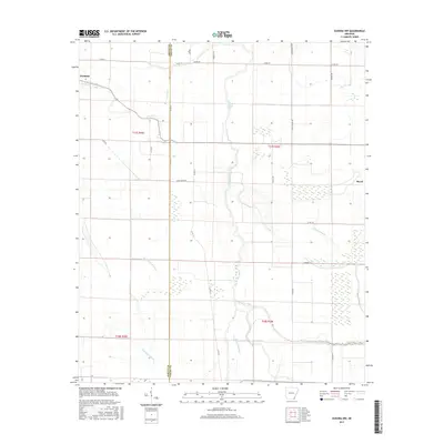
1981 Macon Lake
Chicot County, AR
2011 Eminence
Chicot County, AR
2011 Empire
Chicot County, AR
2011 Eudora North
Chicot County, AR
2011 Eudora NW
Chicot County, AR
2011 Eudora South
Chicot County, AR
2011 Luna
Chicot County, AR
2011 Macon Lake
Chicot County, AR
2011 Readland
Chicot County, AR
2011 Red Leaf
Chicot County, AR
2014 Eminence
Chicot County, AR
2014 Empire
Chicot County, AR
2014 Eudora North
Chicot County, AR
2014 Eudora NW
Chicot County, AR
2014 Eudora South
Chicot County, AR
2014 Luna
Chicot County, AR
2014 Macon Lake
Chicot County, AR
2014 Readland
Chicot County, AR
2014 Red Leaf
Chicot County, AR
2017 Eminence
Chicot County, AR
2017 Empire
Chicot County, AR
2017 Eudora North
Chicot County, AR
2017 Eudora NW
Chicot County, AR
2017 Eudora South
Chicot County, AR
2017 Luna
Chicot County, AR
2017 Macon Lake
Chicot County, AR
2017 Readland
Chicot County, AR
2017 Red Leaf
Chicot County, AR
2020 Eminence
Chicot County, AR
2020 Empire
Chicot County, AR
2020 Eudora North
Chicot County, AR
2020 Eudora NW
Chicot County, AR
2020 Eudora South
Chicot County, AR
2020 Luna
Chicot County, AR
2020 Macon Lake
Chicot County, AR
2020 Readland
Chicot County, AR
2020 Red Leaf
Chicot County, AR
2024 Eminence
Chicot County, AR
2024 Empire
Chicot County, AR
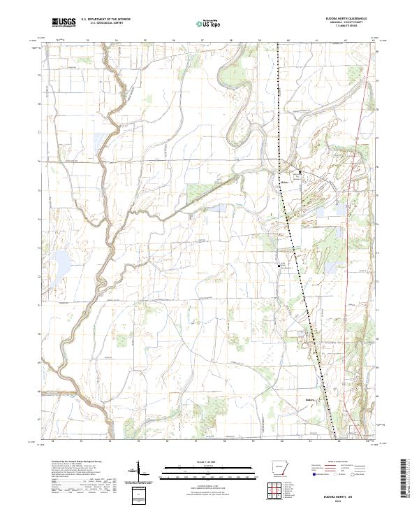
2024 Eudora North
Chicot County, AR
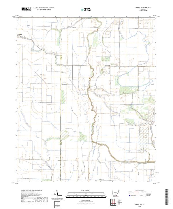
2024 Eudora NW
Chicot County, AR
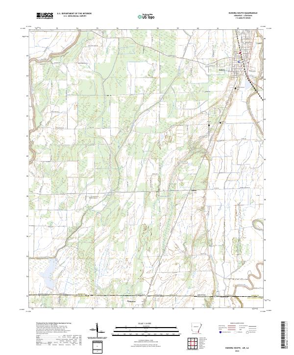
2024 Eudora South
Chicot County, AR
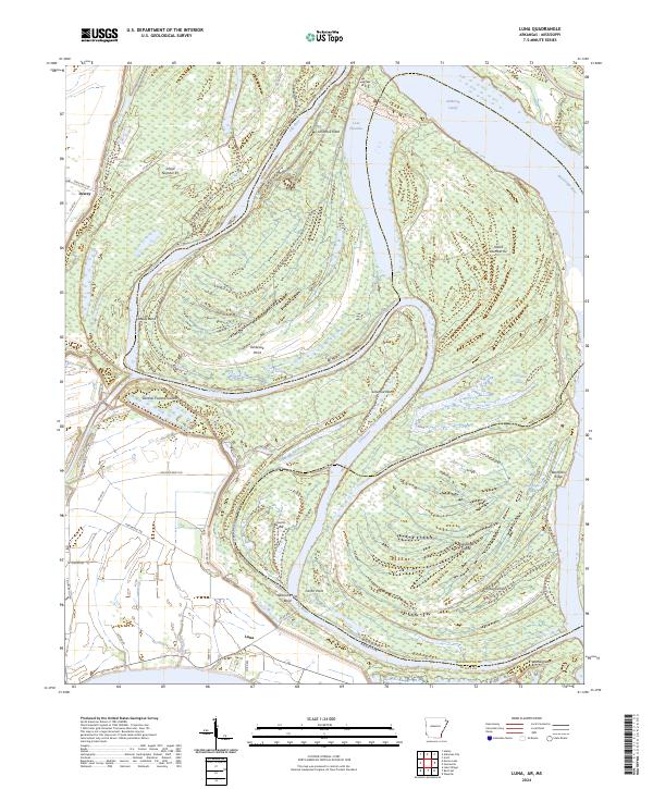
2024 Luna
Chicot County, AR
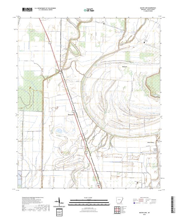
2024 Macon Lake
Chicot County, AR
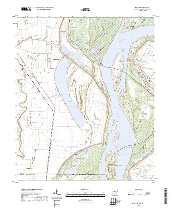
2024 Readland
Chicot County, AR
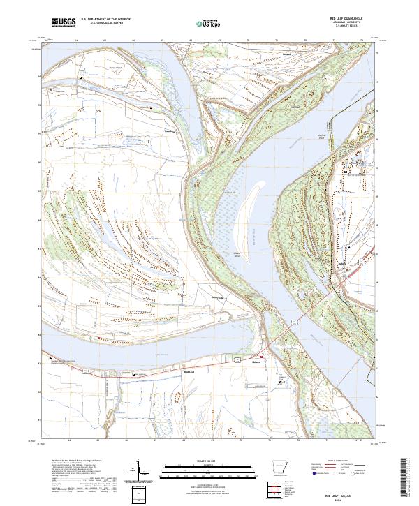
2024 Red Leaf
Chicot County, AR