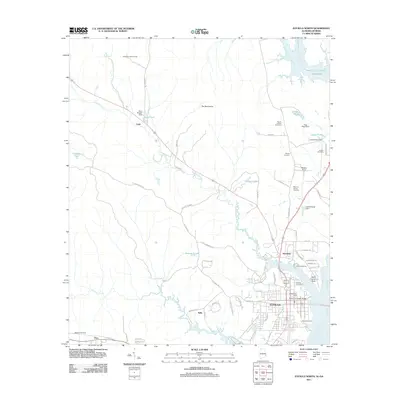
2011 Map of Eufaula North
USGS Topo · Published 2011About this map
The city of Eufaula anchors the southern portion of this landscape, situated where the Chattahoochee River meets the expansive Walter F George Reservoir. As a vital riverfront hub, the area is connected by the Richard B Russell Bridge and features significant infrastructure like the Eufaula Post Office and Weedon Field airport. To the north, the terrain transitions into a series of smaller settlements including Hoboken, Lugo, and Tullis, interspersed with family-named burial grounds like McGee Cemetery and Haven of Rest Cemetery.
Find a feature on this map
74 named features on this map. Tap any name to fly to it.
Don’t see what you’re looking for? This feature index may not catch every label — zoom into the map to look around manually.
Map Details
Editions of this 2011 Eufaula North Map
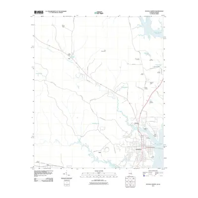
2 editions found
Other maps of this area

1953 · Dothan
USGS Topo · 1:250,000

1954 · Dothan
USGS Topo · 1:250,000

1955 · Dothan
USGS Topo · 1:250,000

1955 · Phenix City
USGS Topo · 1:250,000

1957 · Phenix City
USGS Topo · 1:250,000

1958 · Phenix City
USGS Topo · 1:250,000

1967 · Hatcher
USGS Topo · 1:24,000

1967 · Georgetown
USGS Topo · 1:24,000

1968 · Eufaula North
USGS Topo · 1:24,000

1968 · Baker Hill
USGS Topo · 1:24,000