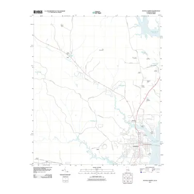
2011 Map of Eufaula North
USGS Topo · Published 2011About this map
Eufaula stands as a significant riverside hub where Chewalla Creek meets the Chattahoochee River, marking the Alabama-Georgia border. This 2011 topographic perspective details the town's northern expansion and its deep connection to the Walter F George Reservoir, featuring landmarks like the Chewalla Marina and the Richard B Russell Bridge. The landscape is a mix of established neighborhoods and smaller outlying settlements such as Hoboken, Lugo, and Tullis.
Find a feature on this map
59 named features on this map. Tap any name to fly to it.
Don’t see what you’re looking for? This feature index may not catch every label — zoom into the map to look around manually.
Map Details
Editions of this 2011 Eufaula North Map
2 editions found
Other maps of this area

1953 · Dothan
USGS Topo · 1:250,000

1954 · Dothan
USGS Topo · 1:250,000

1955 · Dothan
USGS Topo · 1:250,000

1955 · Phenix City
USGS Topo · 1:250,000

1957 · Phenix City
USGS Topo · 1:250,000

1958 · Phenix City
USGS Topo · 1:250,000

1967 · Hatcher
USGS Topo · 1:24,000

1967 · Georgetown
USGS Topo · 1:24,000

1968 · Eufaula North
USGS Topo · 1:24,000

1968 · Baker Hill
USGS Topo · 1:24,000