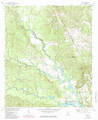
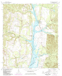
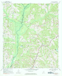
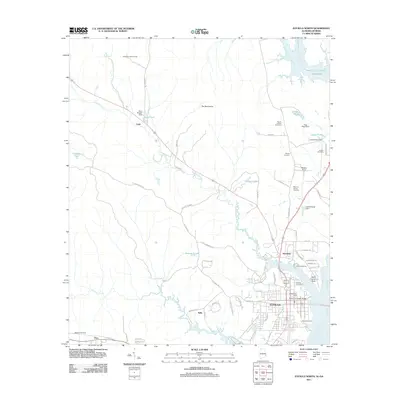
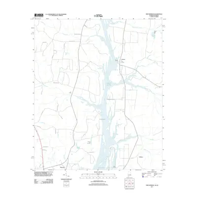
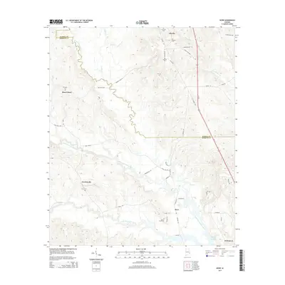
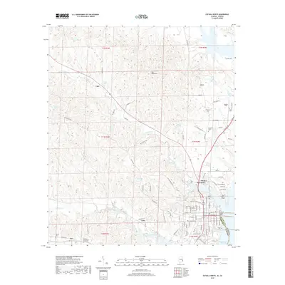
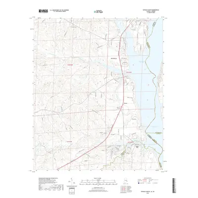
1968 Map of Eufaula North
USGS Topo · Published 1970About this map
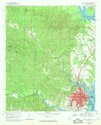
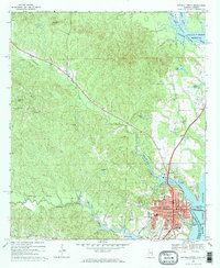
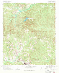
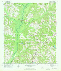
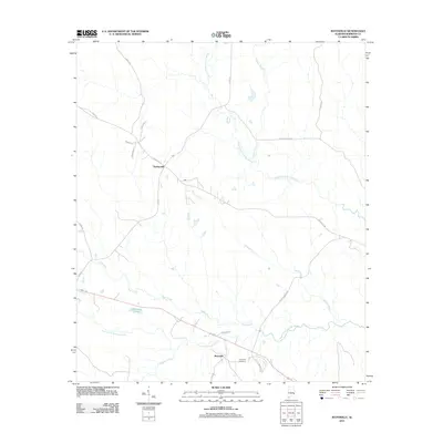
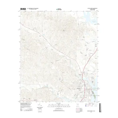
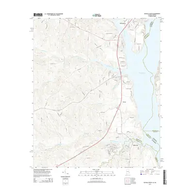
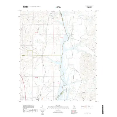
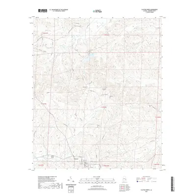
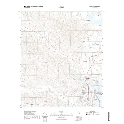
The city of Eufaula sits at a strategic bend in the Chattahoochee River, where the Central of Georgia rail line and local commerce meet the water. In the late 1960s, the landscape is defined by the Walter F George Reservoir, which flooded portions of the river valley to create a massive water body. The presence of the Walter F George National Wildlife Refuge and the Chewalla Marina suggests a shift toward conservation and recreation during this period. Away from the river, the terrain is dotted with small rural communities like Lugo and Tullis, and numerous country churches including Antioch Ch and St Emanuel Ch. The map provides a detailed view of the growing city center, noting civic landmarks such as the Library, Armory, and Western Heights Sch, alongside the industrial presence of gravel pits and the railroad network.
Find a feature on this map
61 named features on this map. Tap any name to fly to it.
Don’t see what you’re looking for? This feature index may not catch every label — zoom into the map to look around manually.
Map Details
Editions of this 1968 Eufaula North Map
2 editions found
Historical Maps of Eufaula Through Time
79 maps found
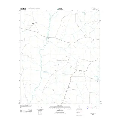
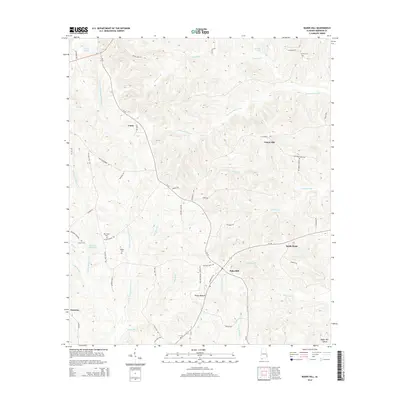
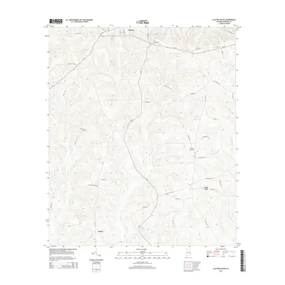
1967 Clayton South
Barbour County, AL
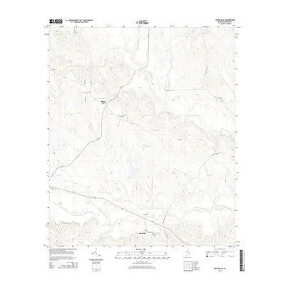
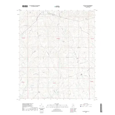
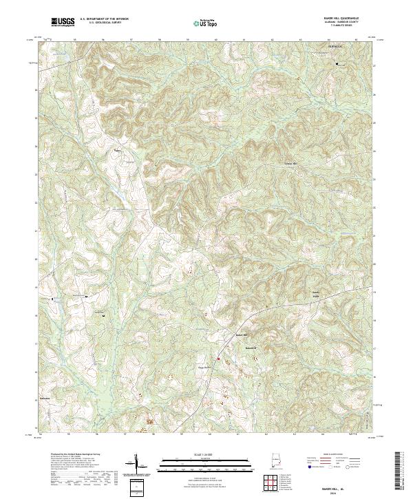
1968 Baker Hill
Barbour County, AL
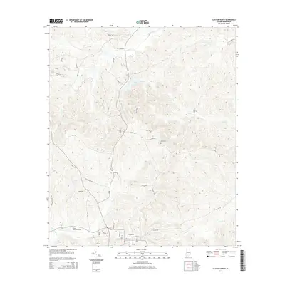
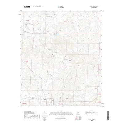
1968 Clayton North
Barbour County, AL
1968 Eufaula North
Barbour County, AL
1968 Eufaula South
Barbour County, AL
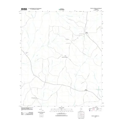
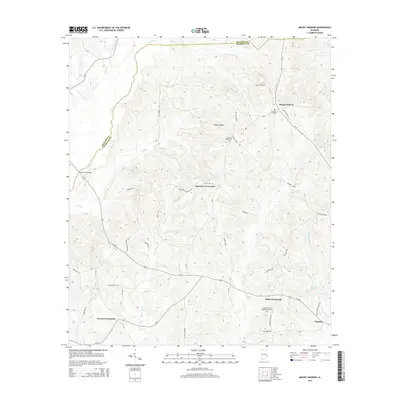
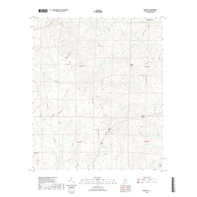
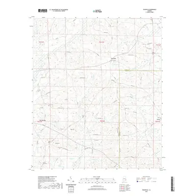
1968 Mount Andrew
Barbour County, AL
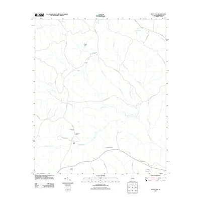
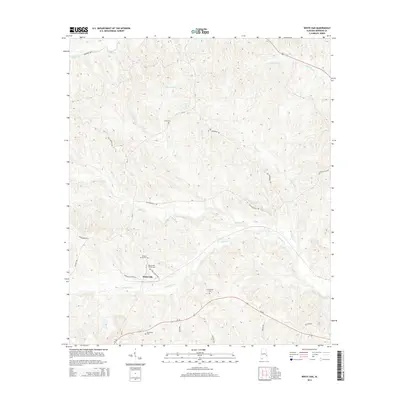
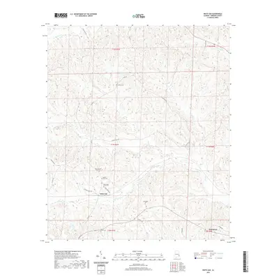
1968 White Oak
Barbour County, AL
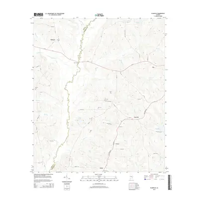
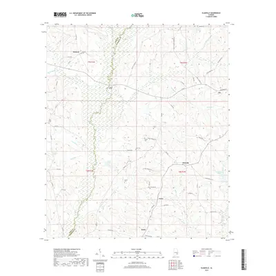
1969 Elamville
Barbour County, AL
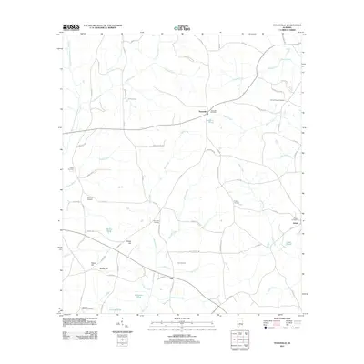
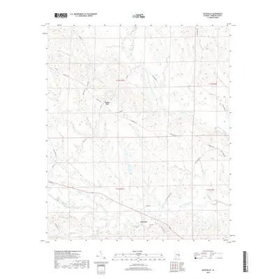
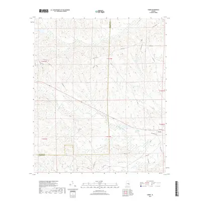
1969 Texasville
Barbour County, AL
1973 Batesville
Barbour County, AL
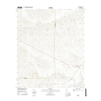
1973 Comer
Barbour County, AL
1973 Howe
Barbour County, AL
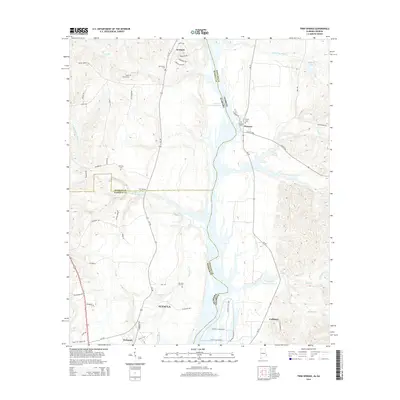
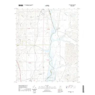
1973 Twin Springs
Barbour County, AL
1979 Elamville
Barbour County, AL
2011 Baker Hill
Barbour County, AL
2011 Batesville
Barbour County, AL
2011 Clayton North
Barbour County, AL
2011 Clayton South
Barbour County, AL
2011 Comer
Barbour County, AL
2011 Elamville
Barbour County, AL
2011 Eufaula North
Barbour County, AL
2011 Eufaula South
Barbour County, AL
2011 Howe
Barbour County, AL
2011 Mount Andrew
Barbour County, AL
2011 Texasville
Barbour County, AL
2011 Twin Springs
Barbour County, AL
2011 White Oak
Barbour County, AL
2014 Baker Hill
Barbour County, AL
2014 Batesville
Barbour County, AL
2014 Clayton North
Barbour County, AL
2014 Clayton South
Barbour County, AL
2014 Comer
Barbour County, AL
2014 Elamville
Barbour County, AL
2014 Eufaula North
Barbour County, AL
2014 Eufaula South
Barbour County, AL
2014 Howe
Barbour County, AL
2014 Mount Andrew
Barbour County, AL
2014 Texasville
Barbour County, AL
2014 Twin Springs
Barbour County, AL
2014 White Oak
Barbour County, AL
2018 Baker Hill
Barbour County, AL
2018 Batesville
Barbour County, AL
2018 Clayton North
Barbour County, AL
2018 Clayton South
Barbour County, AL
2018 Comer
Barbour County, AL
2018 Elamville
Barbour County, AL
2018 Eufaula North
Barbour County, AL
2018 Eufaula South
Barbour County, AL
2018 Howe
Barbour County, AL
2018 Mount Andrew
Barbour County, AL
2018 Texasville
Barbour County, AL
2018 Twin Springs
Barbour County, AL
2018 White Oak
Barbour County, AL
2020 Baker Hill
Barbour County, AL
2020 Batesville
Barbour County, AL
2020 Clayton North
Barbour County, AL
2020 Clayton South
Barbour County, AL
2020 Comer
Barbour County, AL
2020 Elamville
Barbour County, AL
2020 Eufaula North
Barbour County, AL
2020 Eufaula South
Barbour County, AL
2020 Howe
Barbour County, AL
2020 Mount Andrew
Barbour County, AL
2020 Texasville
Barbour County, AL
2020 Twin Springs
Barbour County, AL
2020 White Oak
Barbour County, AL
2024 Baker Hill
Barbour County, AL
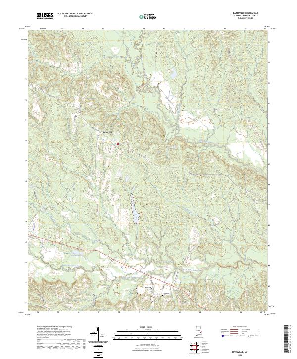
2024 Batesville
Barbour County, AL
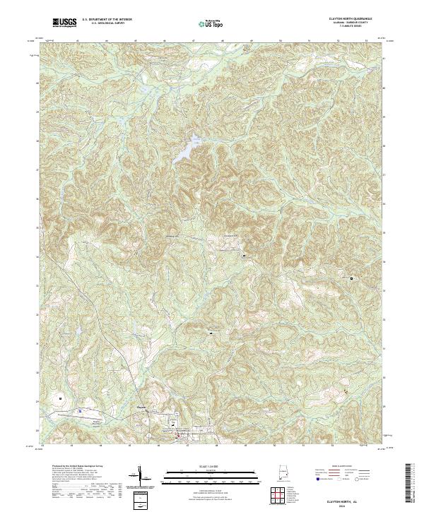
2024 Clayton North
Barbour County, AL
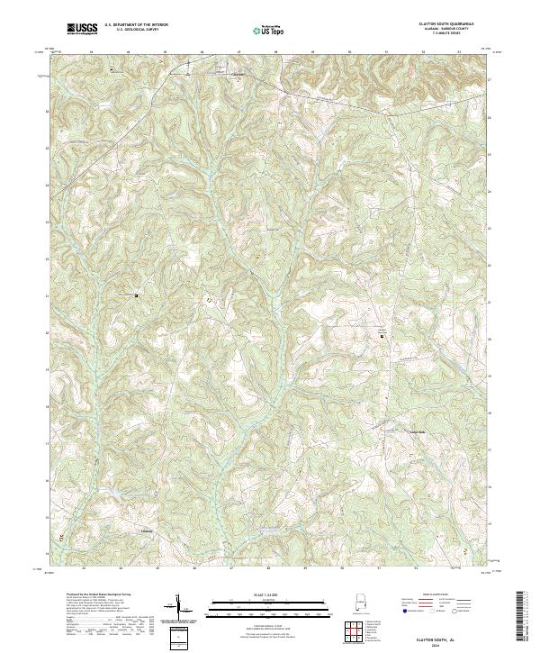
2024 Clayton South
Barbour County, AL
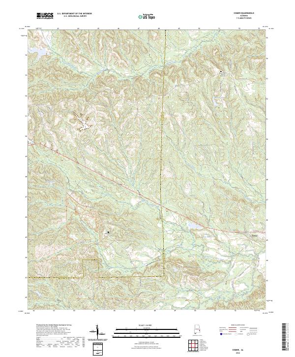
2024 Comer
Barbour County, AL
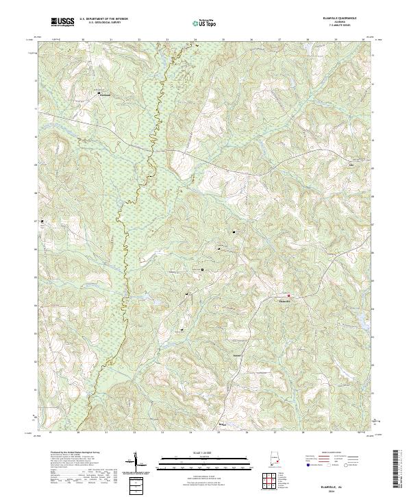
2024 Elamville
Barbour County, AL
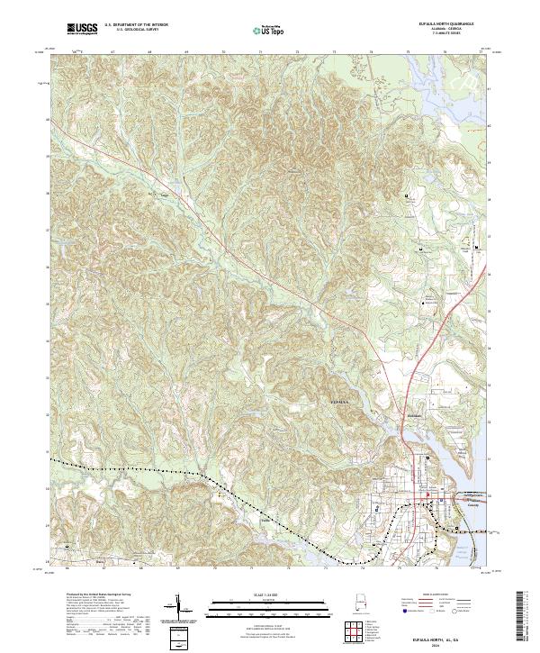
2024 Eufaula North
Barbour County, AL
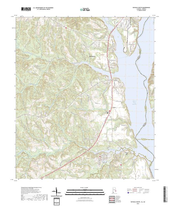
2024 Eufaula South
Barbour County, AL
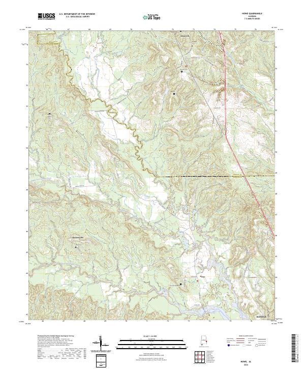
2024 Howe
Barbour County, AL
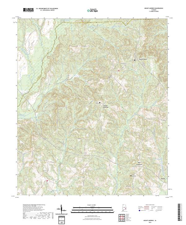
2024 Mount Andrew
Barbour County, AL
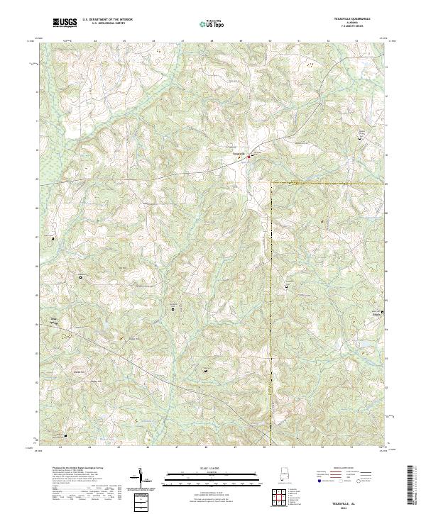
2024 Texasville
Barbour County, AL
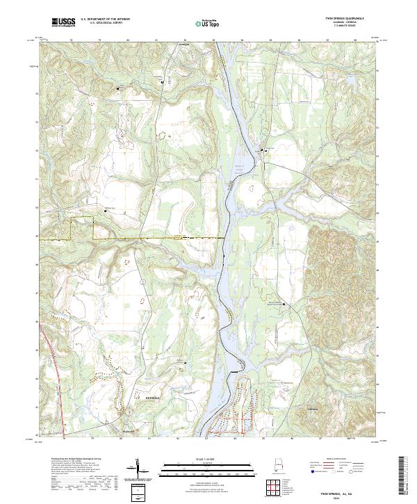
2024 Twin Springs
Barbour County, AL
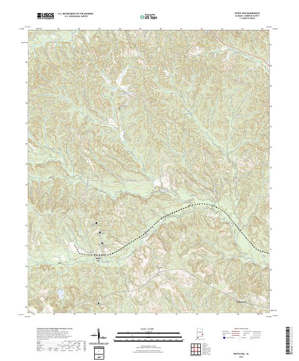
2024 White Oak
Barbour County, AL