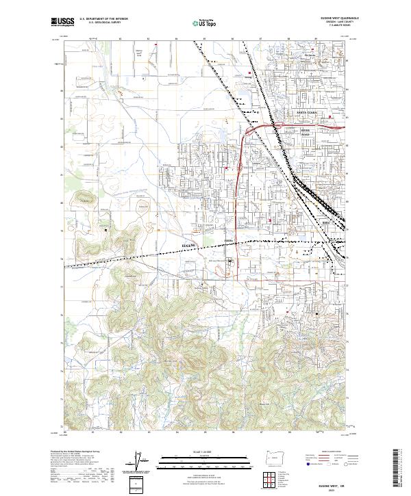
2023 Map of Eugene West
USGS Topo · Published 2023About this map
The western edges of Eugene are defined by a complex network of hydrological engineering and aviation history in this modern survey. Dominating the northwest corner is Mahlon Sweet Field, the region's primary airfield, situated near the headwaters of Amazon Creek. The landscape transitions from the urban density of the Santa Clara and Bethel neighborhoods to the prominent foothills of Oak Hill and Murray Hill. This area is particularly significant for genealogical research, containing several major interment sites including Oak Hill Cem, West Lawn Memorial Park, and Lane Memorial Gardens. The infrastructure of the Union Pacific railroad and the Amazon Creek Diversion Channel illustrates the ongoing management of the valley floor for both transport and flood control. Along the southern edge, the campus of New Hope Christian College sits near the base of Hawkins Hill, overlooking the Hawkins Hill Reservoir.
Find a feature on this map
46 named features on this map. Tap any name to fly to it.
Don’t see what you’re looking for? This feature index may not catch every label — zoom into the map to look around manually.
Map Details
Editions of this 2023 Eugene West Map
This is the sole edition of this map. No revisions or reprints were ever made.
Other maps of this area

1909 · Elmira
USGS Topo · 1:62,500

1910 · Eugene
USGS Topo · 1:62,500

1921 · Cottage Grove
USGS Topo · 1:62,500

1922 · Elmira
USGS Topo · 1:62,500

1940 · Eugene
USGS Topo · 1:62,500

1942 · Elmira
USGS Topo · 1:62,500

1942 · Crow
USGS Topo · 1:62,500

1945 · Crow
USGS Topo · 1:62,500

1946 · Eugene
USGS Topo · 1:62,500

1949 · Eugene
USGS Topo · 1:62,500