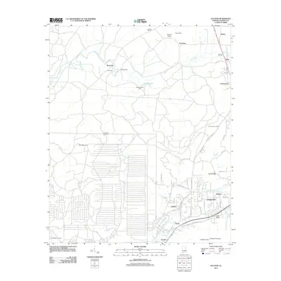
2011 Map of Eulaton
USGS Topo · Published 2011About this map
Anniston and its western outskirts anchor this 2011 survey, showing a landscape defined by industrial corridors and historic residential pockets. The terrain transitions from the developed streets of Cobb Town and Vinnette in the south toward the ridges of Coldwater Mountain. Throughout the area, a series of small, namesake settlements like Eulaton, Morrisville, and Bush remain distinct. Local history is deeply etched into the land through numerous burial grounds, including Hampton Cemetery and Lloyds Chapel Cemetery, often situated near the gaps and mountains that channel the region's roads.
Find a feature on this map
53 named features on this map. Tap any name to fly to it.
Don’t see what you’re looking for? This feature index may not catch every label — zoom into the map to look around manually.
Map Details
Editions of this 2011 Eulaton Map
This is the sole edition of this map. No revisions or reprints were ever made.
Other maps of this area

1889 · Springville
USGS Topo · 1:125,000

1892 · Springville
USGS Topo · 1:125,000

1900 · Anniston
USGS Topo · 1:125,000

1947 · Oxford
USGS Topo · 1:24,000

1947 · Anniston
USGS Topo · 1:24,000

1947 · Eastaboga
USGS Topo · 1:24,000

1947 · Ragland
USGS Topo · 1:62,500

1947 · Jacksonville
USGS Topo · 1:24,000

1947 · Wellington
USGS Topo · 1:24,000

1947 · Francis Mill
USGS Topo · 1:24,000