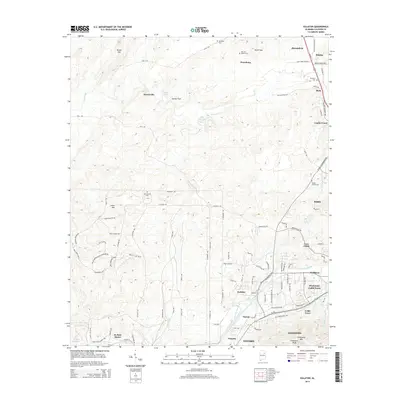
2014 Map of Eulaton
USGS Topo · Published 2014About this map
Oxford and Anniston anchor the southern edge of this landscape, where the foothills of Coldwater Mtn rise above the surrounding valleys. The 2014 survey reveals a complex network of military-related infrastructure, including the Lance Missiles Rd, Demolition Pit Rd, and various patrol routes north of Coker Mtn. This intersection of defense and domestic life is typical of the region's mid-century growth and land use patterns.
Find a feature on this map
104 named features on this map. Tap any name to fly to it.
Don’t see what you’re looking for? This feature index may not catch every label — zoom into the map to look around manually.
Map Details
Editions of this 2014 Eulaton Map
This is the sole edition of this map. No revisions or reprints were ever made.
Other maps of this area

1889 · Springville
USGS Topo · 1:125,000

1892 · Springville
USGS Topo · 1:125,000

1900 · Anniston
USGS Topo · 1:125,000

1947 · Oxford
USGS Topo · 1:24,000

1947 · Anniston
USGS Topo · 1:24,000

1947 · Eastaboga
USGS Topo · 1:24,000

1947 · Ragland
USGS Topo · 1:62,500

1947 · Jacksonville
USGS Topo · 1:24,000

1947 · Wellington
USGS Topo · 1:24,000

1947 · Francis Mill
USGS Topo · 1:24,000