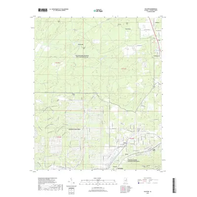
2018 Map of Eulaton
USGS Topo · Published 2018About this map
Freedom Riders National Monument stands as a significant historical anchor on the southern edge of this landscape, situated near Vinnette and the northern outskirts of Oxford. This modern survey reveals a complex mix of civic heritage, heavy military presence, and small residential pockets. Much of the western and central terrain is dominated by the Anniston Army Depot and the Pelham Range Training Site - Fort McClellan, where a network of patrol roads and boundary lines defines the landscape. Beyond these government reservations, the map tracks the community of Eulaton and the historic churchyards that dot the area, including New Mount Sellers Cem and Lloyds Chapel Cem. The topography is shaped by heights like Brook Mtn and Coker Mtn, with Cane Creek and the Leatherwood Slough providing primary drainage for the surrounding hills.
Find a feature on this map
117 named features on this map. Tap any name to fly to it.
Don’t see what you’re looking for? This feature index may not catch every label — zoom into the map to look around manually.
Map Details
Editions of this 2018 Eulaton Map
This is the sole edition of this map. No revisions or reprints were ever made.
Other maps of this area

1889 · Springville
USGS Topo · 1:125,000

1892 · Springville
USGS Topo · 1:125,000

1900 · Anniston
USGS Topo · 1:125,000

1947 · Oxford
USGS Topo · 1:24,000

1947 · Anniston
USGS Topo · 1:24,000

1947 · Eastaboga
USGS Topo · 1:24,000

1947 · Ragland
USGS Topo · 1:62,500

1947 · Jacksonville
USGS Topo · 1:24,000

1947 · Wellington
USGS Topo · 1:24,000

1947 · Francis Mill
USGS Topo · 1:24,000