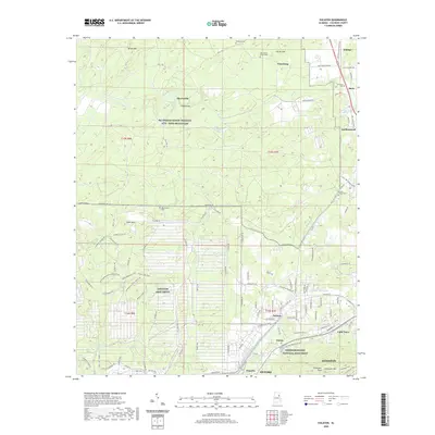
2020 Map of Eulaton
USGS Topo · Published 2020About this map
Anniston Army Depot and the NG Pelham Range Training Site - Fort McClellan dominate the landscape west of Oxford and Anniston, revealing a region defined by its military and industrial footprint. The depot is mapped in striking detail, showing a specialized road network with names like Guided Missile Heavy Rocket Rd, Ammo Workshop Loop, and Lance Missiles Rd. To the south, the Freedom Riders National Monument marks a site of profound civil rights significance.
Find a feature on this map
125 named features on this map. Tap any name to fly to it.
Don’t see what you’re looking for? This feature index may not catch every label — zoom into the map to look around manually.
Map Details
Editions of this 2020 Eulaton Map
This is the sole edition of this map. No revisions or reprints were ever made.
Other maps of this area

1889 · Springville
USGS Topo · 1:125,000

1892 · Springville
USGS Topo · 1:125,000

1900 · Anniston
USGS Topo · 1:125,000

1947 · Oxford
USGS Topo · 1:24,000

1947 · Anniston
USGS Topo · 1:24,000

1947 · Eastaboga
USGS Topo · 1:24,000

1947 · Ragland
USGS Topo · 1:62,500

1947 · Jacksonville
USGS Topo · 1:24,000

1947 · Wellington
USGS Topo · 1:24,000

1947 · Francis Mill
USGS Topo · 1:24,000