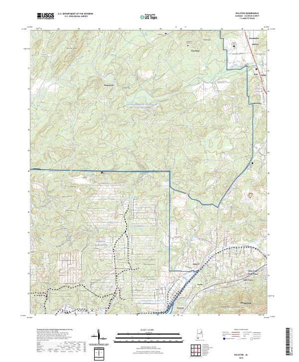
2024 Map of Eulaton
USGS Topo · Published 2024About this map
Anniston Army Depot dominates the western half of this Calhoun County terrain, its specialized landscape of Demolition Pit Rd, Lance Missles Rd, and bunkers north of Coker Mtn contrasting with the civil settlements to the east. The map records a significant transition between military installations and historic communities, with the NG Pelham Range Training Site - Fort McClellan situated near Morrisville and Lake Contreras.
Find a feature on this map
116 named features on this map. Tap any name to fly to it.
Don’t see what you’re looking for? This feature index may not catch every label — zoom into the map to look around manually.
Map Details
Editions of this 2024 Eulaton Map
This is the sole edition of this map. No revisions or reprints were ever made.
Other maps of this area

1889 · Springville
USGS Topo · 1:125,000

1892 · Springville
USGS Topo · 1:125,000

1900 · Anniston
USGS Topo · 1:125,000

1947 · Oxford
USGS Topo · 1:24,000

1947 · Anniston
USGS Topo · 1:24,000

1947 · Eastaboga
USGS Topo · 1:24,000

1947 · Ragland
USGS Topo · 1:62,500

1947 · Jacksonville
USGS Topo · 1:24,000

1947 · Wellington
USGS Topo · 1:24,000

1947 · Francis Mill
USGS Topo · 1:24,000