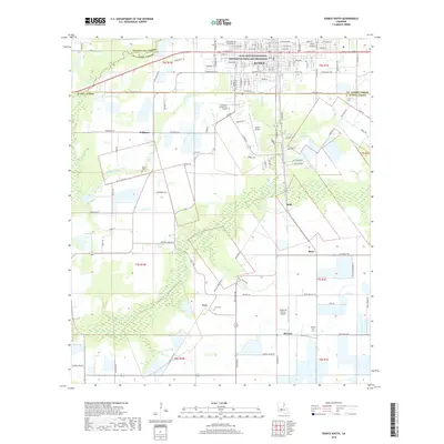
2018 Map of Eunice South
USGS Topo · Published 2018About this map
Jean Lafitte National Historical Park and Preserve provides a focal point for the cultural and environmental preservation within the city of Eunice. The landscape transitions from the urban street grids of the town center to the sprawling agricultural fields and wetlands of the surrounding parishes. This area is heavily defined by its parish boundaries, where Evangeline, Acadia, and St. Landry Parishes meet.
Find a feature on this map
128 named features on this map. Tap any name to fly to it.
Don’t see what you’re looking for? This feature index may not catch every label — zoom into the map to look around manually.
Map Details
Editions of this 2018 Eunice South Map
This is the sole edition of this map. No revisions or reprints were ever made.
Other maps of this area

1935 · Branch
USGS Topo · 1:31,680

1947 · Evangeline
USGS Topo · 1:31,680

1947 · Fruge Lake
USGS Topo · 1:31,680

1947 · Branch
USGS Topo · 1:31,680

1947 · Redland
USGS Topo · 1:31,680

1947 · Chataignier
USGS Topo · 1:31,680

1947 · Eunice
USGS Topo · 1:31,680

1947 · Iota
USGS Topo · 1:31,680

1947 · Pitreville
USGS Topo · 1:31,680

1947 · Basile
USGS Topo · 1:31,680