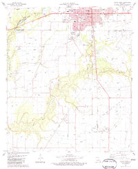
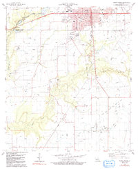
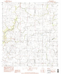
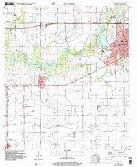
1983 Map of Eunice South
USGS Topo · Published 1983This historical map portrays the area of Eunice South in 1983, primarily covering Acadia Parish as well as portions of Evangeline Parish and St. Landry Parish. Featuring a scale of 1:24000, this map provides a highly detailed snapshot of the terrain, roads, buildings, counties, and historical landmarks in the Eunice South region at the time. Published in 1983, it is one of 2 known editions of this map due to revisions or reprints.
Find a feature on this map
47 named features on this map. Tap any name to fly to it.
Don’t see what you’re looking for? This feature index may not catch every label — zoom into the map to look around manually.
Map Details
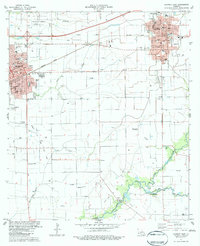
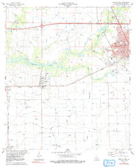
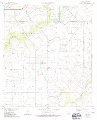
Editions of this 1983 Eunice South Map
2 editions found
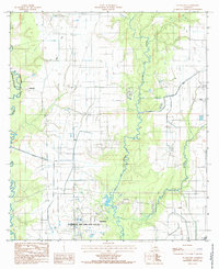
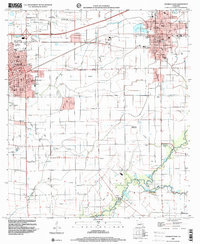
Historical Maps of Mowata Through Time
11 maps found

1947 Evangeline
Acadia Parish, LA

1947 Pitreville
Acadia Parish, LA
1983 Crowley East
Acadia Parish, LA
1983 Crowley West
Acadia Parish, LA
1983 Eunice South
Acadia Parish, LA
1983 Mire
Acadia Parish, LA
1983 Richard
Acadia Parish, LA
1985 Evangeline
Acadia Parish, LA
1998 Crowley East
Acadia Parish, LA
1998 Crowley West
Acadia Parish, LA
1998 Mire
Acadia Parish, LA