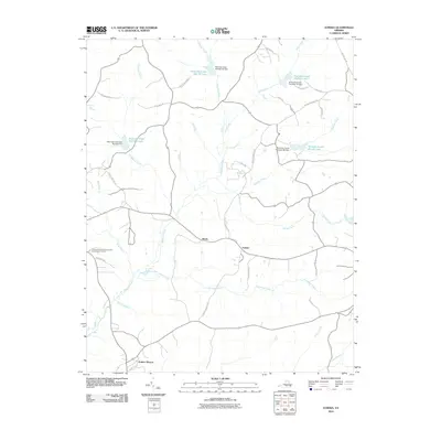
2010 Map of Eureka
USGS Topo · Published 2010About this map
The Virginia Polytechnic Institute Experimental Farm sits at the western edge of this landscape, marking a site of agricultural study amidst the rural terrain of Charlotte County. Small settlements such as Henry and Eureka are linked by a network of local roads like Eureka School Rd and Union Cemetery Rd, reflecting the community-oriented infrastructure of the early 21st century. The geography is heavily defined by the water management systems along Roanoke Creek, which features multiple reservoirs including Roanoke Creek Site 68 Lake and Roanoke Creek Site 54 Lake. These man-made lakes and their associated dams, such as Roanoke Creek Number 67 Dam, highlight the region's focus on watershed control. The southern portion of the map transitions toward the edge of Drakes Branch, where the drainage of Twittys Creek and Ash Camp Creek shapes the local topography.
Find a feature on this map
39 named features on this map. Tap any name to fly to it.
Don’t see what you’re looking for? This feature index may not catch every label — zoom into the map to look around manually.
Map Details
Editions of this 2010 Eureka Map
This is the sole edition of this map. No revisions or reprints were ever made.
Other maps of this area

1891 · Farmville
USGS Topo · 1:125,000

1892 · Appomattox
USGS Topo · 1:125,000

1893 · Farmville
USGS Topo · 1:125,000

1947 · Roanoke
USGS Topo · 1:250,000

1953 · Greensboro
USGS Topo · 1:250,000

1954 · Greensboro
USGS Topo · 1:250,000

1954 · Clover
USGS Topo · 1:62,500

1955 · Chase City
USGS Topo · 1:62,500

1956 · Charlotte Court House
USGS Topo · 1:62,500

1958 · Keysville
USGS Topo · 1:62,500