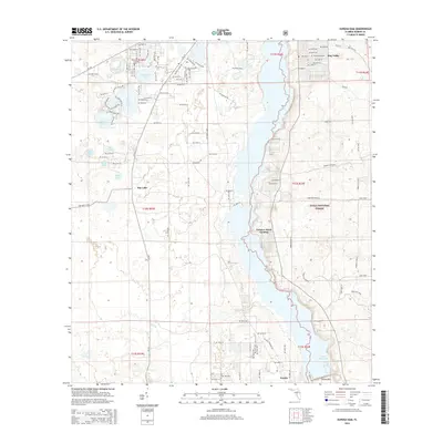
2015 Map of Eureka Dam
USGS Topo · Published 2015About this map
Lake Ocklawaha dominates the eastern half of this 2015 survey, where the water's edge defines the boundary of the Ocala National Forest. Along the western shore, small settlements and access points like Tobacco Patch Landing and Eureka mark the interface between the lake and the surrounding pine scrub and flatwoods. The map reveals a high concentration of small water bodies to the northwest, including Horseshoe Lake, Island Lake, and Deer Back Lake, suggesting a terrain characterized by sinkhole ponds and fluctuating water tables.
Find a feature on this map
111 named features on this map. Tap any name to fly to it.
Don’t see what you’re looking for? This feature index may not catch every label — zoom into the map to look around manually.
Map Details
Editions of this 2015 Eureka Dam Map
This is the sole edition of this map. No revisions or reprints were ever made.
Other maps of this area

1893 · Citra
USGS Topo · 1:62,500

1895 · Citra
USGS Topo · 1:62,500

1915 · Interlachen
USGS Topo · 1:48,000

1916 · Interlachen
USGS Topo · 1:62,500

1938 · Hawthorn
USGS Topo · 1:48,000

1943 · Hawthorn
USGS Topo · 1:62,500

1944 · Interlachen
USGS Topo · 1:62,500

1949 · Keuka
USGS Topo · 1:24,000

1949 · Rodman
USGS Topo · 1:24,000

1949 · Interlachen
USGS Topo · 1:62,500