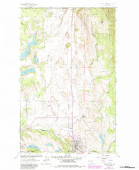
1963 Map of Eureka North
USGS Topo · Published 1984About this map
Eureka serves as the focal point for this border region of northwest Montana, situated just south of the international boundary and the Roosville US Customs station. The geography is defined by the Tobacco Plains and the broad Iowa Flats, where the Iowa Flats Sch once served local families. Water is a dominant feature throughout the landscape, from the winding course of the Tobacco River to a cluster of glacial lakes including Sophie Lake, Moran Lake, and Tetrault Lake. Industrial and transport patterns are clearly visible through the Burlington Northern railroad corridor and the presence of the Eureka Airport. The eastern portion of the sheet rises into the timbered reaches of the Kootenai National Forest, overseen by a Ranger Sta and drained by mountain streams like De Rozier Creek.
Find a feature on this map
29 named features on this map. Tap any name to fly to it.
Don’t see what you’re looking for? This feature index may not catch every label — zoom into the map to look around manually.
Map Details
Editions of this 1963 Eureka North Map
3 editions found
Other maps of this area

1913 · Stryker
USGS Topo · 1:125,000

1916 · Stryker
USGS Topo · 1:125,000

1957 · Kalispell
USGS Topo · 1:250,000

1960 · Kalispell
USGS Topo · 1:250,000

1961 · Kalispell
USGS Topo · 1:250,000

1963 · Rexford
USGS Topo · 1:24,000

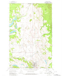
1963 · Eureka North
USGS Topo · 1:24,000

1963 · Ksanka Peak
USGS Topo · 1:24,000

1963 · Eureka South
USGS Topo · 1:24,000
1963 · Fortine
USGS Topo · 1:24,000