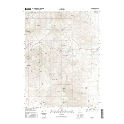
2017 Map of Eureka
USGS Topo · Published 2017About this map
Eureka serves as the central hub for this high-elevation district along the Utah and Juab County line. The landscape is defined by its deep mining history, with settlements like Knightville, Mammoth, and Dividend marking the terrain. Names like Mammoth Gulch and Silver Pass Canyon reflect the industrial heritage that once drove the region's economy. The map reveals a complex network of canyons and peaks, including Godiva Mtn and Eureka Peak, while local infrastructure is highlighted by specialized features like the Tintic Drain Tunnel.
Find a feature on this map
92 named features on this map. Tap any name to fly to it.
Don’t see what you’re looking for? This feature index may not catch every label — zoom into the map to look around manually.
Map Details
Editions of this 2017 Eureka Map
This is the sole edition of this map. No revisions or reprints were ever made.
Other maps of this area

1885 · Salt Lake
USGS Topo · 1:250,000

1885 · Manti
USGS Topo · 1:250,000

1885 · Sevier Desert
USGS Topo · 1:250,000

1885 · Tooele Valley
USGS Topo · 1:250,000

1895 · Manti
USGS Topo · 1:250,000

1947 · Fivemile Pass
USGS Topo · 1:62,500

1947 · Allens Ranch
USGS Topo · 1:24,000

1947 · Boulter Peak
USGS Topo · 1:24,000

1949 · Eureka
USGS Topo · 1:24,000

1949 · Allens Ranch
USGS Topo · 1:24,000