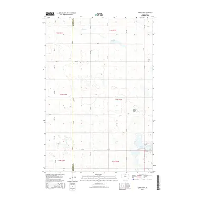
2015 Map of Eureka West
USGS Topo · Published 2015About this map
Eureka sits at the edge of the Missouri Coteau, where the prairie landscape is marked by a high density of glacial potholes and small basins. This 2015 survey shows the town's position in eastern South Dakota near the Campbell Co and McPherson Co boundary, a region historically defined by its German-Russian heritage and agricultural endurance. The town's infrastructure includes the Eureka Municipal Airport to the northwest and several recreational and spiritual landmarks, such as Eureka Lake and the Church of God.
Find a feature on this map
35 named features on this map. Tap any name to fly to it.
Don’t see what you’re looking for? This feature index may not catch every label — zoom into the map to look around manually.
Map Details
Editions of this 2015 Eureka West Map
This is the sole edition of this map. No revisions or reprints were ever made.
Other maps of this area

1954 · Aberdeen
USGS Topo · 1:250,000

1956 · Aberdeen
USGS Topo · 1:250,000

1978 · Greenway
USGS Topo · 1:24,000

1978 · Zeeland
USGS Topo · 1:24,000

1978 · Eureka West
USGS Topo · 1:24,000

1978 · Venturia
USGS Topo · 1:24,000

1978 · Flat Lake
USGS Topo · 1:24,000

1978 · Feinstein Lake
USGS Topo · 1:24,000

1978 · Eureka East
USGS Topo · 1:24,000

1978 · Mutske Lake
USGS Topo · 1:24,000