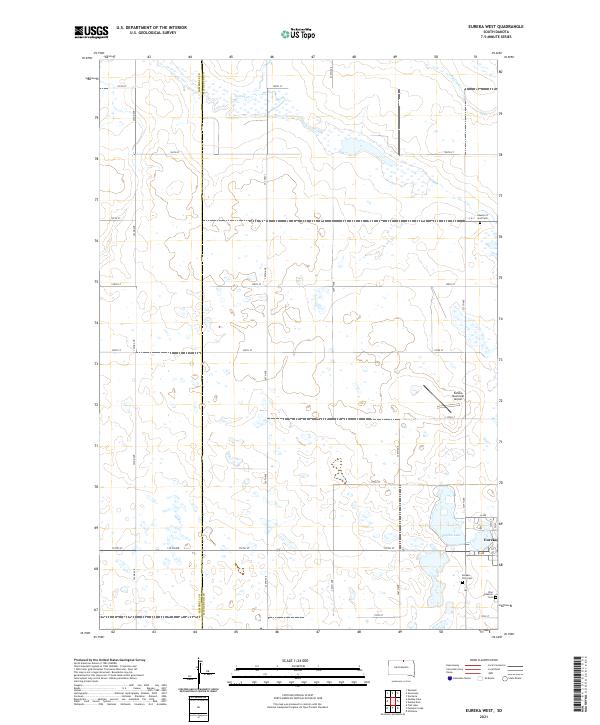
2021 Map of Eureka West
USGS Topo · Published 2021About this map
Eureka sits at the eastern edge of this agricultural landscape in McPherson County, serving as a focal point for the surrounding prairie. The town's layout is well-defined by local thoroughfares such as E Ave and K Ave, while the presence of Eureka Lake and the Eureka Municipal Airport highlights the infrastructure supporting this rural community. The map provides clear evidence of the area's religious and communal history through its dedicated burial grounds, including the Zion Lutheran Cem, Eureka City Cem, and the Church of God Cem located further north.
Find a feature on this map
37 named features on this map. Tap any name to fly to it.
Don’t see what you’re looking for? This feature index may not catch every label — zoom into the map to look around manually.
Map Details
Editions of this 2021 Eureka West Map
This is the sole edition of this map. No revisions or reprints were ever made.
Other maps of this area

1954 · Aberdeen
USGS Topo · 1:250,000

1956 · Aberdeen
USGS Topo · 1:250,000

1978 · Greenway
USGS Topo · 1:24,000

1978 · Zeeland
USGS Topo · 1:24,000

1978 · Eureka West
USGS Topo · 1:24,000

1978 · Venturia
USGS Topo · 1:24,000

1978 · Flat Lake
USGS Topo · 1:24,000

1978 · Feinstein Lake
USGS Topo · 1:24,000

1978 · Eureka East
USGS Topo · 1:24,000

1978 · Mutske Lake
USGS Topo · 1:24,000